Triolet night lights from space
Night Light of Triolet (Pamplemousses) from space (Mauritius) Src. Average luminocity for 10x10km area is 38.3452% and for 50x50km: 14.1729%.
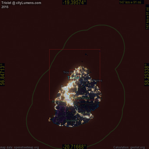
Analysis of Triolet night lights 2016
Square area 10x10 km:
 1.59%
1.59%90-99
3.37%80-89
4.56%70-79
8.13%60-69
6.35%50-59
2.78%40-49
10.12%30-39
14.48%20-29
24.4%10-19
16.27%0-9
7.94%Square area 50x50 km:
1.5%90-99
2.18%80-89
1.88%70-79
1.56%60-69
1.67%50-59
1.89%40-49
3.11%30-39
3.49%20-29
4.7%10-19
7%0-9
71.02%Clear (daylight) street map image can be seen on geolist.org.
Map coordinates:
19° 23' 44.7" South, 56° 50' 49.7" East
20° 3' 27.4" South, 57° 33' 0.9" East
20° 43' 0" South, 58° 15' 12.2" East
Some cities around Triolet sort by population:
• Grand Baie
5.4 km =3.4 mi,  35°
35°
• Terre Rouge
8.1 km =5 mi,  199°
199°
• Petit Raffray
8.7 km =5.4 mi,  61°
61°
• Pamplemousses
5.6 km =3.5 mi,  157°
157°
• Plaine des Papayes
2.5 km =1.6 mi,  109°
109°
• Pointe aux Piments
2.9 km =1.8 mi,  253°
253°
• Morcellement Saint André
2.5 km =1.6 mi,  130°
130°
• Fond du Sac
3.7 km =2.3 mi,  72°
72°
933959 (p: 23,269)
Sources (retrieved 2019-11-25):
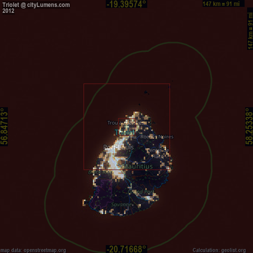
» Earth at Night: Flat Maps 2012, 2016