Vittoriosa night lights from space
Night Light of Vittoriosa (Il-Birgu) from space (Malta) Src. Average luminocity for 10x10km area is 71.696% and for 50x50km: 9.8578%.
Analysis of Vittoriosa night lights 2016
Square area 10x10 km:
 27.66%
90-99
26.56%80-89
5.13%70-79
4.58%60-69
3.3%50-59
0.92%40-49
3.66%30-39
4.4%20-29
12.27%10-19
8.97%0-9
2.56%Square area 50x50 km:
1.78%90-99
1.98%80-89
1.03%70-79
1.36%60-69
1.77%50-59
0.56%40-49
1.04%30-39
1.29%20-29
2.53%10-19
5.54%0-9
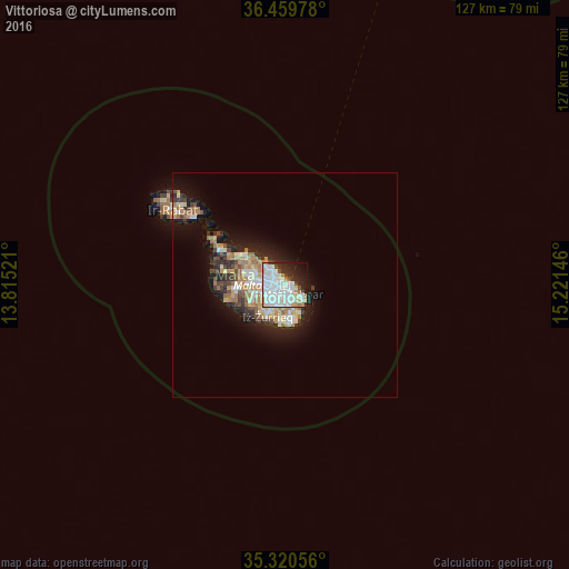
81.13%Clear (daylight) street map image can be seen on geolist.org.
Map coordinates:
36° 27' 35.2" North, 13° 48' 54.8" East
35° 53' 32" North, 14° 31' 6" East
35° 19' 14" North, 15° 13' 17.3" East
Some cities around Vittoriosa sort by population:
• Żabbar
2.3 km =1.4 mi,  140°
140°
• Valletta
0.9 km =0.6 mi,  339°
339°
• Cospicua
1.1 km =0.7 mi,  131°
131°
• Pietà
2.1 km =1.3 mi,  277°
277°
• Kalkara
1.3 km =0.8 mi,  104°
104°
• Senglea
0.5 km =0.3 mi,  193°
193°
• Floriana
1 km =0.6 mi,  294°
294°
• Ta’ Xbiex
2.3 km =1.4 mi, 289°
2562966 (p: 2,936)
Sources (retrieved 2019-11-25):
» Earth at Night: Flat Maps 2012, 2016