Safi night lights from space
Night Light of Safi from space (Malta) Src. Average luminocity for 10x10km area is 61.6434% and for 50x50km: 9.8144%.
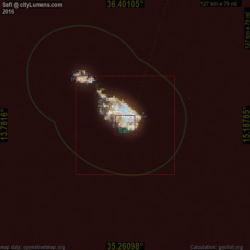
Analysis of Safi night lights 2016
Square area 10x10 km:
100  14.51%
90-99 18.36%
80-89 8.74%
70-79 10.14%
60-69 7.52%
50-59 2.45%
40-49 3.85%
30-39 2.27%
20-29 12.76%
10-19 15.73%
0-9 3.67%
14.51%90-99
18.36%80-89
8.74%70-79
10.14%60-69
7.52%50-59
2.45%40-49
3.85%30-39
2.27%20-29
12.76%10-19
15.73%0-9
3.67%Square area 50x50 km:
100 1.77%
90-99 1.98%
80-89 1%
70-79 1.38%
60-69 1.87%
50-59 0.64%
40-49 1%
30-39 1.21%
20-29 2.46%
10-19 5.29%
0-9 81.41%
1.77%90-99
1.98%80-89
1%70-79
1.38%60-69
1.87%50-59
0.64%40-49
1%30-39
1.21%20-29
2.46%10-19
5.29%0-9
81.41%Clear (daylight) street map image can be seen on geolist.org.
Map coordinates:
36° 24' 3.8" North, 13° 46' 53.8" East
35° 49' 59" North, 14° 29' 5" East
35° 15' 39.5" North, 15° 11' 16.3" East
Some cities around Safi sort by population:
• Żurrieq
1 km =0.6 mi,  257°
257°
• Birżebbuġa
3.9 km =2.4 mi,  101°
101°
• Luqa
2.9 km =1.8 mi,  6°
6°
• Għaxaq
3.4 km =2.1 mi,  58°
58°
• Gudja
2.4 km =1.5 mi,  42°
42°
• Mqabba
2.2 km =1.4 mi,  317°
317°
• Qrendi
2.4 km =1.5 mi,  274°
274°
• Kirkop
1 km =0.6 mi,  2°
2°
2562598 (p: 1,863)
Sources (retrieved 2019-11-25):
» Earth at Night: Flat Maps 2012, 2016