Ölgii night lights from space
Night Light of Ölgii (Bayan-Ölgiy) from space (Mongolia) Src. Average luminocity for 10x10km area is 0.4134% and for 50x50km: 0.0164%.

Analysis of Ölgii night lights 2016
Square area 10x10 km:
 0%
0%90-99
0%80-89
0%70-79
0%60-69
0%50-59
0%40-49
0.57%30-39
0%20-29
0%10-19
0.57%0-9
98.86%Square area 50x50 km:
0%90-99
0%80-89
0%70-79
0%60-69
0%50-59
0%40-49
0.02%30-39
0%20-29
0%10-19
0.02%0-9
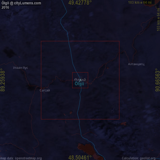
99.95%Clear (daylight) street map image can be seen on geolist.org.
Map coordinates:
49° 25' 40" North, 89° 15' 33.8" East
48° 58' 6" North, 89° 57' 45" East
48° 30' 16.6" North, 90° 39' 56.3" East
Some cities around Ölgii sort by population:
• Altay, CN
183.6 km =114.1 mi,  227°
227°
• Khovd
163.6 km =101.7 mi,  130°
130°
• Ulaangom
189.2 km =117.6 mi,  53°
53°
• Ak-Dovurak, RU
250.4 km =155.6 mi,  10°
10°
• Chadan, RU
282.1 km =175.3 mi,  24°
24°
• Kosh-Agach, RU
147 km =91.3 mi,  320°
320°
• Onguday, RU
337.5 km =209.7 mi,  305°
305°
• Kyzyl-Mazhalyk, RU
246.1 km =152.9 mi, 10°
1515436 (p: 28,400)
Sources (retrieved 2019-11-25):
» Earth at Night: Flat Maps 2012, 2016