Altay night lights from space
Night Light of Altay (Xinjiang) from space (China) Src. Average luminocity for 10x10km area is 13.608% and for 50x50km: 0.6101%.
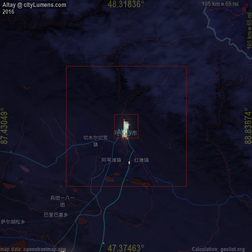
Analysis of Altay night lights 2016
Square area 10x10 km:
 1.7%
1.7%90-99
1.7%80-89
3.27%70-79
1.7%60-69
0.71%50-59
2.13%40-49
0.99%30-39
1.42%20-29
0.85%10-19
4.4%0-9
81.11%Square area 50x50 km:
0.07%90-99
0.07%80-89
0.13%70-79
0.07%60-69
0.06%50-59
0.09%40-49
0.04%30-39
0.07%20-29
0.05%10-19
0.18%0-9
99.18%Clear (daylight) street map image can be seen on geolist.org.
Map coordinates:
48° 19' 6.1" North, 87° 25' 49.8" East
47° 50' 55.1" North, 88° 8' 1" East
47° 22' 28.7" North, 88° 50' 12.3" East
Some cities around Altay sort by population:
• Baijiantan
330.8 km =205.5 mi,  223°
223°
• Khovd, MN
261.9 km =162.7 mi,  86°
86°
• Ölgii, MN
183.6 km =114.1 mi,  47°
47°
• Hoxtolgay
218.6 km =135.8 mi,  227°
227°
• Zaysan, KZ
248 km =154.1 mi,  260°
260°
• Kurchum, KZ
340.8 km =211.8 mi,  283°
283°
• Tūghyl, KZ
293.7 km =182.5 mi,  267°
267°
• Kosh-Agach, RU
241.7 km =150.2 mi,  9°
9°
1529651 (p: 139,341)
Sources (retrieved 2019-11-25):
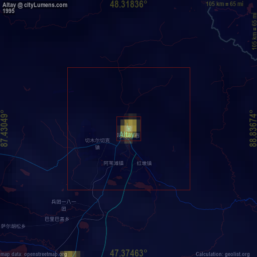
» NASA, Earths city lights 1995
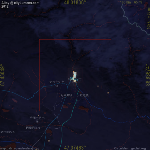
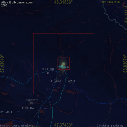
» NASA city lights 2003
» Earth at Night: Flat Maps 2012, 2016