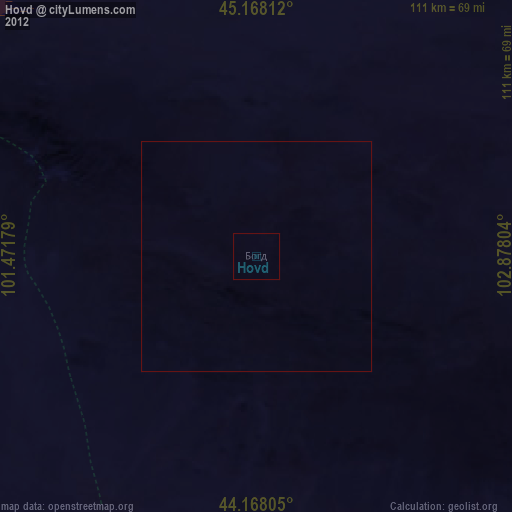
Hovd night lights from space
Night Light of Hovd (Övörhangay) from space (Mongolia) Src. Average luminocity for 10x10km area is 0% and for 50x50km: 0%.

Analysis of Hovd night lights 2016
Square area 10x10 km:
 0%
0%90-99
0%80-89
0%70-79
0%60-69
0%50-59
0%40-49
0%30-39
0%20-29
0%10-19
0%0-9
100%Square area 50x50 km:
0%90-99
0%80-89
0%70-79
0%60-69
0%50-59
0%40-49
0%30-39
0%20-29
0%10-19
0%0-9
100%Clear (daylight) street map image can be seen on geolist.org.
Map coordinates:
45° 10' 5.2" North, 101° 28' 18.4" East
44° 40' 12.9" North, 102° 10' 29.7" East
44° 10' 5" North, 102° 52' 40.9" East
Some cities around Hovd sort by population:
• Bayanhongor
204.1 km =126.8 mi,  326°
326°
• Arvayheer
183.3 km =113.9 mi,  14°
14°
• Bayanhongor
278.1 km =172.8 mi,  324°
324°
• Mandalgovi
343 km =213.1 mi,  69°
69°
• Dalandzadgad
217.2 km =135 mi,  124°
124°
• Harhorin
285.5 km =177.4 mi, 10°
• Kharkhorin
284.8 km =177 mi, 9°
• Tsetserleg
316.8 km =196.9 mi,  349°
349°
2030474 (p: 27,924)
Sources (retrieved 2019-11-25):
» Earth at Night: Flat Maps 2012, 2016