Arvayheer night lights from space
Night Light of Arvayheer (Övörhangay) from space (Mongolia) Src. Average luminocity for 10x10km area is 6.0491% and for 50x50km: 0.2474%.

Analysis of Arvayheer night lights 2016
Square area 10x10 km:
 0.89%
0.89%90-99
1.93%80-89
0.74%70-79
0.45%60-69
0.74%50-59
0.6%40-49
0%30-39
0.6%20-29
0.15%10-19
1.04%0-9
92.86%Square area 50x50 km:
0.04%90-99
0.08%80-89
0.03%70-79
0.02%60-69
0.03%50-59
0.02%40-49
0%30-39
0.02%20-29
0.01%10-19
0.04%0-9
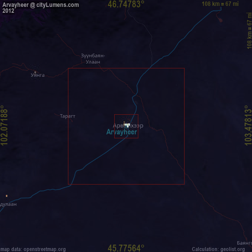
99.71%Clear (daylight) street map image can be seen on geolist.org.
Map coordinates:
46° 44' 52.2" North, 102° 4' 18.8" East
46° 15' 50" North, 102° 46' 30" East
45° 46' 32.3" North, 103° 28' 41.3" East
Some cities around Arvayheer sort by population:
• Hovd
183.3 km =113.9 mi,  194°
194°
• Bayanhongor
158.4 km =98.4 mi,  267°
267°
• Bayanhongor
209.6 km =130.2 mi,  283°
283°
• Bulgan
289.1 km =179.6 mi,  11°
11°
• Mandalgovi
275.6 km =171.2 mi,  101°
101°
• Harhorin
103.9 km =64.6 mi,  2°
2°
• Kharkhorin
103.3 km =64.2 mi, 1°
• Tsetserleg
168 km =104.4 mi,  323°
323°
2032814 (p: 25,622)
Sources (retrieved 2019-11-25):
» Earth at Night: Flat Maps 2012, 2016