Dalandzadgad night lights from space
Night Light of Dalandzadgad (Ömnögovĭ) from space (Mongolia) Src. Average luminocity for 10x10km area is 3.2619% and for 50x50km: 0.1257%.
Analysis of Dalandzadgad night lights 2016
Square area 10x10 km:
 0%
0%90-99
0%80-89
1.9%70-79
0.63%60-69
0.16%50-59
0.48%40-49
0%30-39
0.63%20-29
0.63%10-19
0.63%0-9
94.92%Square area 50x50 km:
0%90-99
0%80-89
0.07%70-79
0.02%60-69
0.01%50-59
0.02%40-49
0%30-39
0.02%20-29
0.02%10-19
0.02%0-9
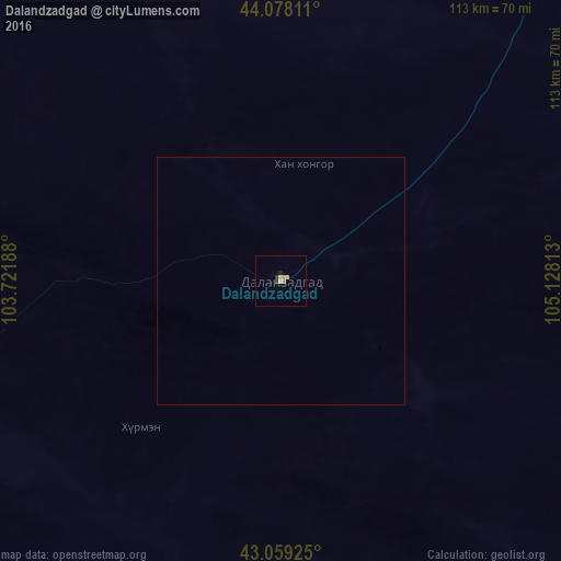
99.8%Clear (daylight) street map image can be seen on geolist.org.
Map coordinates:
44° 4' 41.2" North, 103° 43' 18.8" East
43° 34' 15" North, 104° 25' 30" East
43° 3' 33.3" North, 105° 7' 41.3" East
Some cities around Dalandzadgad sort by population:
• Bayan Nur, CN
398.1 km =247.4 mi,  142°
142°
• Hovd
217.2 km =135 mi,  304°
304°
• Bayanhongor
412.7 km =256.4 mi,  314°
314°
• Arvayheer
326.4 km =202.8 mi,  336°
336°
• Mandalgovi
284 km =176.5 mi,  30°
30°
• Choyr
438.2 km =272.3 mi,  44°
44°
• Harhorin
422.2 km =262.3 mi, 342°
• Kharkhorin
421.9 km =262.2 mi, 342°
2032007 (p: 15,093)
Sources (retrieved 2019-11-25):
» Earth at Night: Flat Maps 2012, 2016