Mandalgovi night lights from space
Night Light of Mandalgovi (Middle Govĭ) from space (Mongolia) Src. Average luminocity for 10x10km area is 1.2% and for 50x50km: 0.0459%.
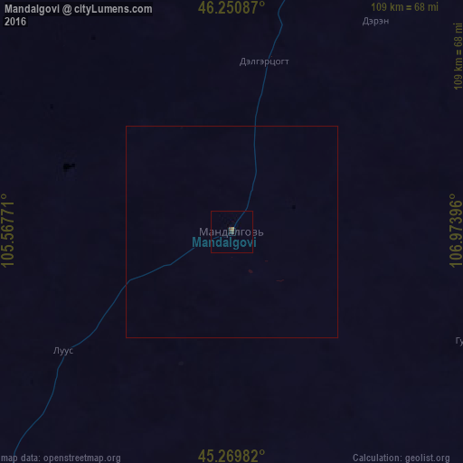
Analysis of Mandalgovi night lights 2016
Square area 10x10 km:
 0%
0%90-99
0%80-89
0%70-79
0%60-69
0.63%50-59
0%40-49
0.63%30-39
0.63%20-29
0.63%10-19
0%0-9
97.46%Square area 50x50 km:
0%90-99
0%80-89
0%70-79
0%60-69
0.02%50-59
0%40-49
0.02%30-39
0.02%20-29
0.02%10-19
0%0-9
99.9%Clear (daylight) street map image can be seen on geolist.org.
Map coordinates:
46° 15' 3.1" North, 105° 34' 3.8" East
45° 45' 45" North, 106° 16' 15" East
45° 16' 11.4" North, 106° 58' 26.3" East
Some cities around Mandalgovi sort by population:
• Ulan Bator
243 km =151 mi,  11°
11°
• Arvayheer
275.6 km =171.2 mi,  281°
281°
• Зуунмод
222.4 km =138.2 mi, 13°
• Dalandzadgad
284 km =176.5 mi,  210°
210°
• Dzuunmod
222.4 km =138.2 mi, 13°
• Choyr
174.5 km =108.4 mi,  67°
67°
• Harhorin
308.4 km =191.6 mi,  301°
301°
• Kharkhorin
308.8 km =191.9 mi, 300°
2030065 (p: 15,430)
Sources (retrieved 2019-11-25):
» Earth at Night: Flat Maps 2012, 2016