Sittwe night lights from space
Night Light of Sittwe (Rakhine) from space (Myanmar) Src. Average luminocity for 10x10km area is 11.3075% and for 50x50km: 0.635%.
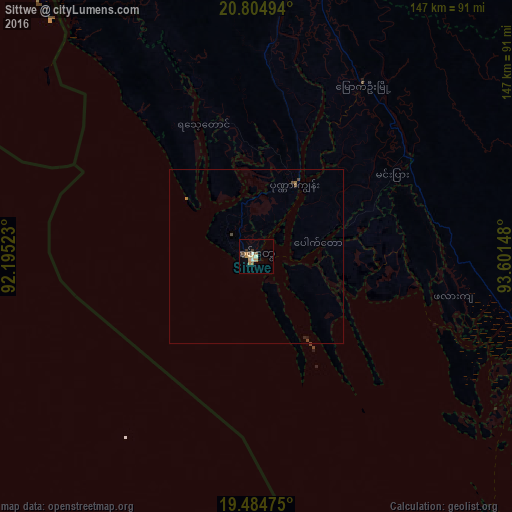
Analysis of Sittwe night lights 2016
Square area 10x10 km:
 0.6%
0.6%90-99
1.79%80-89
1.59%70-79
2.38%60-69
1.59%50-59
1.59%40-49
1.59%30-39
3.17%20-29
0%10-19
0.2%0-9
85.52%Square area 50x50 km:
0.02%90-99
0.07%80-89
0.06%70-79
0.1%60-69
0.14%50-59
0.09%40-49
0.19%30-39
0.13%20-29
0.03%10-19
0.04%0-9
99.12%Clear (daylight) street map image can be seen on geolist.org.
Map coordinates:
20° 48' 17.8" North, 92° 11' 42.8" East
20° 8' 46.5" North, 92° 53' 54.1" East
19° 29' 5.1" North, 93° 36' 5.3" East
Some cities around Sittwe sort by population:
• Cox’s Bāzār, BD
170.9 km =106.2 mi,  327°
327°
• Yenangyaung
208.8 km =129.7 mi,  80°
80°
• Magway
212.3 km =131.9 mi,  89°
89°
• Chauk
216.7 km =134.7 mi,  67°
67°
• Minbu
206.4 km =128.3 mi, 88°
• Sātkania, BD
232 km =144.2 mi,  337°
337°
• Teknāf, BD
100.9 km =62.7 mi,  321°
321°
• Bāndarban, BD
238.5 km =148.2 mi, 342°
1295765 (p: 177,743)
Sources (retrieved 2019-11-25):
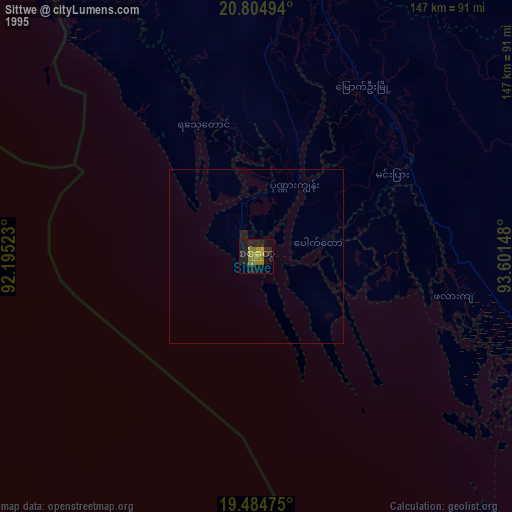
» NASA, Earths city lights 1995
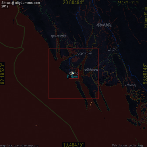
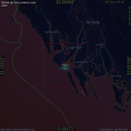
» NASA city lights 2003
» Earth at Night: Flat Maps 2012, 2016