Bāndarban night lights from space
Night Light of Bāndarban (Chittagong) from space (Bangladesh) Src. Average luminocity for 10x10km area is 1.858% and for 50x50km: 0.7407%.
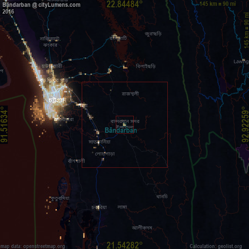
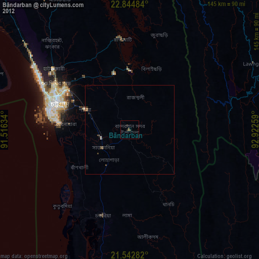
Analysis of Bāndarban night lights 2016
Square area 10x10 km:
 0%
0%90-99
0%80-89
0%70-79
0.76%60-69
1.33%50-59
0.19%40-49
0%30-39
0%20-29
0%10-19
1.52%0-9
96.21%Square area 50x50 km:
0.03%90-99
0.03%80-89
0.06%70-79
0.03%60-69
0.15%50-59
0.13%40-49
0.22%30-39
0.32%20-29
0.25%10-19
0.3%0-9
98.47%Clear (daylight) street map image can be seen on geolist.org.
Map coordinates:
22° 50' 41.4" North, 91° 30' 58.8" East
22° 11' 43.2" North, 92° 13' 10.1" East
21° 32' 34.2" North, 92° 55' 21.3" East
Some cities around Bāndarban sort by population:
• Chittagong
43 km =26.7 mi,  291°
291°
• Bibir Hat
69.9 km =43.4 mi,  320°
320°
• Sandwīp
86.2 km =53.6 mi, 294°
• Sātkania
21.9 km =13.6 mi,  232°
232°
• Patiya
27.1 km =16.8 mi, 294°
• Raojān
48.8 km =30.3 mi, 320°
• Manikchari
81.5 km =50.6 mi,  331°
331°
• Saiha, IN
85 km =52.8 mi,  67°
67°
1185270 (p: 32,523)
Sources (retrieved 2019-11-25):
» Earth at Night: Flat Maps 2012, 2016