Sātkania night lights from space
Night Light of Sātkania (Chittagong) from space (Bangladesh) Src. Average luminocity for 10x10km area is 3.0198% and for 50x50km: 2.9454%.
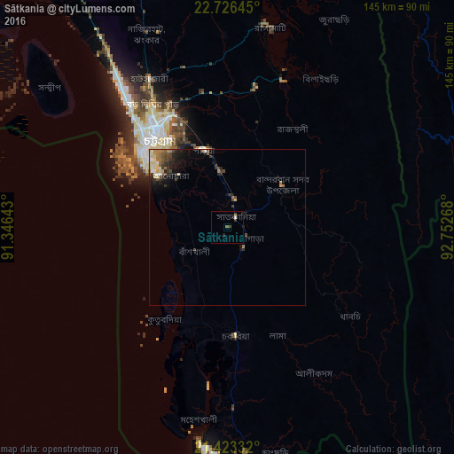
Analysis of Sātkania night lights 2016
Square area 10x10 km:
 0.6%
0.6%90-99
0.2%80-89
0%70-79
0%60-69
0%50-59
1.39%40-49
0.2%30-39
1.59%20-29
1.79%10-19
0.2%0-9
94.05%Square area 50x50 km:
0.19%90-99
0.3%80-89
0.67%70-79
0.23%60-69
0.55%50-59
0.36%40-49
0.64%30-39
0.64%20-29
0.86%10-19
1.6%0-9
93.96%Clear (daylight) street map image can be seen on geolist.org.
Map coordinates:
22° 43' 35.2" North, 91° 20' 47.1" East
22° 4' 35" North, 92° 2' 58.4" East
21° 25' 24" North, 92° 45' 9.6" East
Some cities around Sātkania sort by population:
• Chittagong
36.8 km =22.9 mi,  322°
322°
• Cox’s Bāzār
70.9 km =44.1 mi,  183°
183°
• Bibir Hat
72.6 km =45.1 mi,  338°
338°
• Sandwīp
78.2 km =48.6 mi,  308°
308°
• Patiya
25.4 km =15.8 mi, 343°
• Bāndarban
21.9 km =13.6 mi,  52°
52°
• Raojān
52.7 km =32.7 mi,  345°
345°
• Manikchari
87.5 km =54.4 mi, 345°
1336133 (p: 52,005)
Sources (retrieved 2019-11-25):
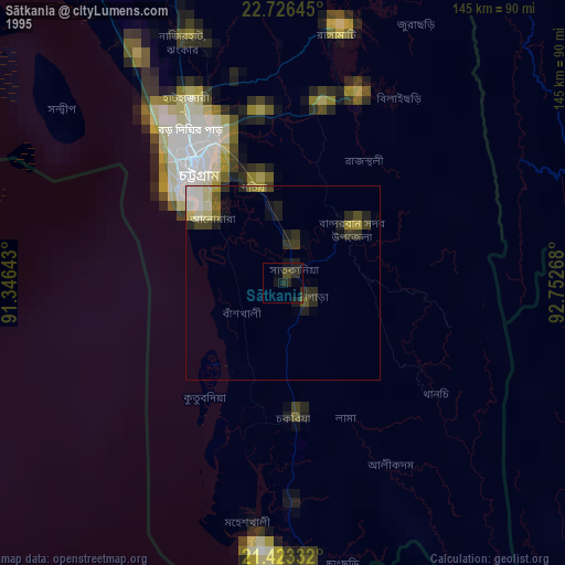
» NASA, Earths city lights 1995
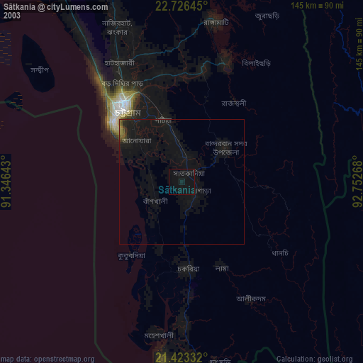
» NASA city lights 2003
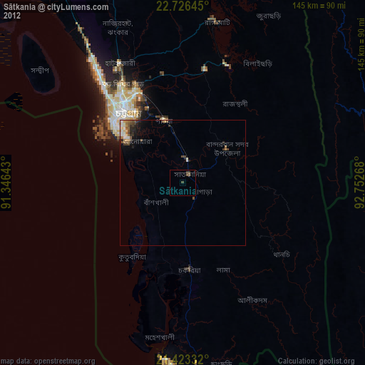
» Earth at Night: Flat Maps 2012, 2016