Teknāf night lights from space
Night Light of Teknāf (Chittagong) from space (Bangladesh) Src. Average luminocity for 10x10km area is 1.0675% and for 50x50km: 0.3088%.
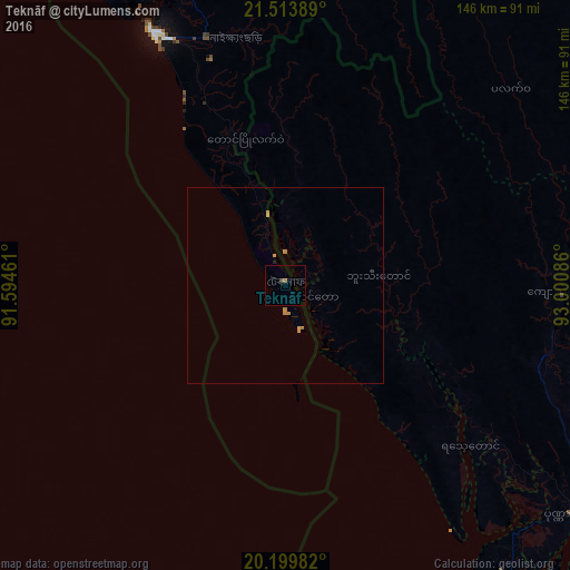
Analysis of Teknāf night lights 2016
Square area 10x10 km:
 0%
0%90-99
0%80-89
0%70-79
0%60-69
0.6%50-59
0.2%40-49
0%30-39
0.6%20-29
0.2%10-19
0%0-9
98.41%Square area 50x50 km:
0%90-99
0%80-89
0%70-79
0.18%60-69
0.17%50-59
0.01%40-49
0%30-39
0.02%20-29
0.01%10-19
0.03%0-9
99.58%Clear (daylight) street map image can be seen on geolist.org.
Map coordinates:
21° 30' 50" North, 91° 35' 40.6" East
20° 51' 29.8" North, 92° 17' 51.8" East
20° 11' 59.4" North, 93° 0' 3.1" East
Some cities around Teknāf sort by population:
• Chittagong
171.5 km =106.6 mi,  343°
343°
• Cox’s Bāzār
71.2 km =44.2 mi, 335°
• Sittwe, MM
100.9 km =62.7 mi,  141°
141°
• Sātkania
137.9 km =85.7 mi,  349°
349°
• Patiya
163.2 km =101.4 mi, 348°
• Bāndarban
148.9 km =92.5 mi,  356°
356°
• Raojān
190.5 km =118.4 mi, 348°
• Saiha, IN
194.9 km =121.1 mi,  21°
21°
1185095 (p: 40,557)
Sources (retrieved 2019-11-25):
» Earth at Night: Flat Maps 2012, 2016