Chauk night lights from space
Night Light of Chauk (Magway) from space (Myanmar) Src. Average luminocity for 10x10km area is 13.2242% and for 50x50km: 1.0344%.
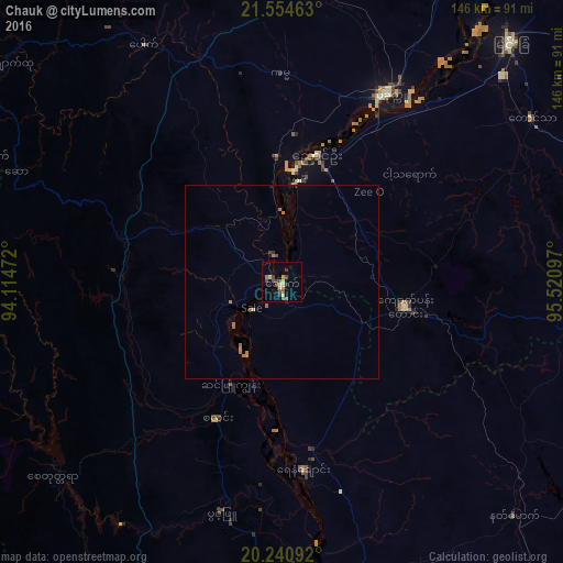
Analysis of Chauk night lights 2016
Square area 10x10 km:
 0%
0%90-99
0.79%80-89
3.57%70-79
1.19%60-69
1.59%50-59
2.18%40-49
5.75%30-39
2.58%20-29
0.6%10-19
0.99%0-9
80.75%Square area 50x50 km:
0%90-99
0.03%80-89
0.15%70-79
0.11%60-69
0.45%50-59
0.13%40-49
0.29%30-39
0.14%20-29
0.06%10-19
0.07%0-9
98.57%Clear (daylight) street map image can be seen on geolist.org.
Map coordinates:
21° 33' 16.7" North, 94° 6' 53" East
20° 53' 57.2" North, 94° 49' 4.2" East
20° 14' 27.3" North, 95° 31' 15.5" East
Some cities around Chauk sort by population:
• Monywa
138.4 km =86 mi,  13°
13°
• Meiktila
108.1 km =67.2 mi,  91°
91°
• Myingyan
86 km =53.4 mi,  43°
43°
• Pakokku
55.8 km =34.7 mi,  29°
29°
• Yenangyaung
48.6 km =30.2 mi,  173°
173°
• Magway
84.2 km =52.3 mi, 171°
• Taungdwingyi
124.9 km =77.6 mi,  142°
142°
• Minbu
80.1 km =49.8 mi,  175°
175°
1327659 (p: 90,870)
Sources (retrieved 2019-11-25):
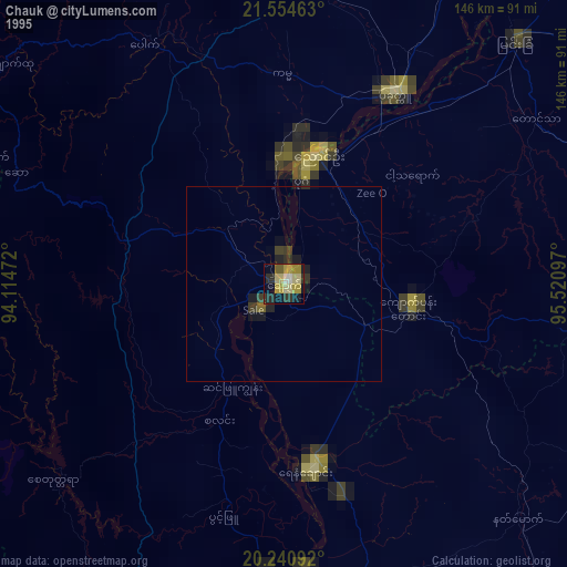
» NASA, Earths city lights 1995
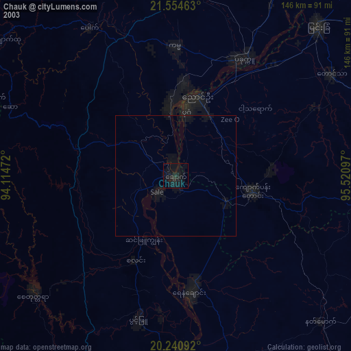
» NASA city lights 2003
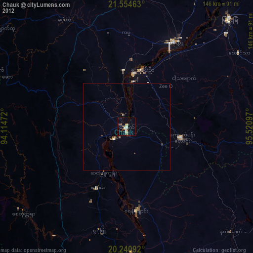
» Earth at Night: Flat Maps 2012, 2016