Myitkyina night lights from space
Night Light of Myitkyina (Kachin) from space (Myanmar) Src. Average luminocity for 10x10km area is 14.4325% and for 50x50km: 0.642%.
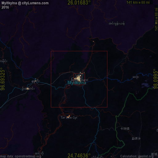
Analysis of Myitkyina night lights 2016
Square area 10x10 km:
 0%
0%90-99
0.79%80-89
0.79%70-79
7.74%60-69
1.79%50-59
0%40-49
1.79%30-39
5.75%20-29
1.79%10-19
2.38%0-9
77.18%Square area 50x50 km:
0%90-99
0.03%80-89
0.03%70-79
0.3%60-69
0.07%50-59
0%40-49
0.12%30-39
0.27%20-29
0.07%10-19
0.09%0-9
99.01%Clear (daylight) street map image can be seen on geolist.org.
Map coordinates:
26° 1' 0.6" North, 96° 41' 35.7" East
25° 22' 59.8" North, 97° 23' 46.9" East
24° 44' 46.9" North, 98° 5' 58.2" East
Some cities around Myitkyina sort by population:
• Dali, CN
283.5 km =176.2 mi,  85°
85°
• Lashio
274.5 km =170.6 mi,  172°
172°
• Bhamo
126.8 km =78.8 mi,  187°
187°
• Tuensang, IN
275.5 km =171.2 mi,  290°
290°
• Margherita, IN
272.7 km =169.4 mi,  320°
320°
• Mon, IN
277.8 km =172.6 mi,  302°
302°
• Khonsa, IN
257.5 km =160 mi,  314°
314°
• Sarupathar, IN
108.7 km =67.5 mi,  327°
327°
1307741 (p: 90,894)
Sources (retrieved 2019-11-25):
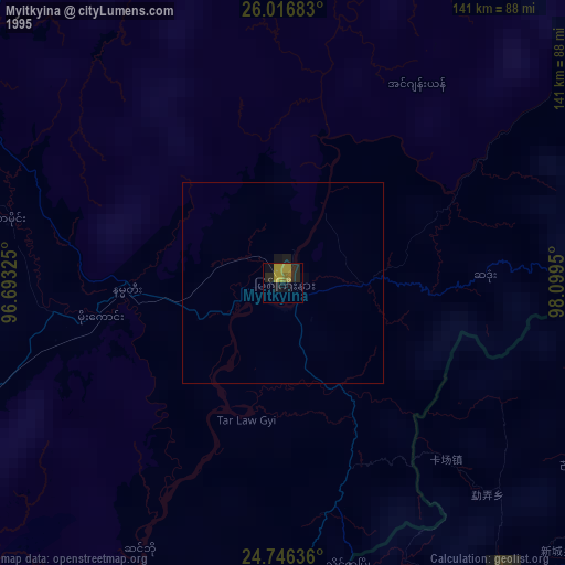
» NASA, Earths city lights 1995
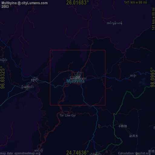
» NASA city lights 2003
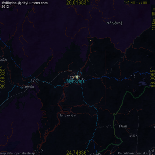
» Earth at Night: Flat Maps 2012, 2016