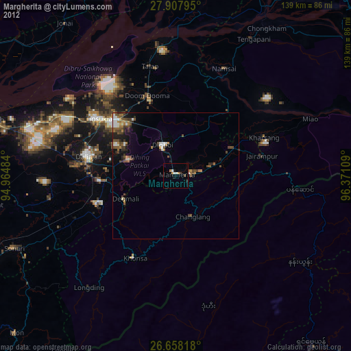
Margherita night lights from space
Night Light of Margherita (Arunachal Pradesh) from space (India) Src. Average luminocity for 10x10km area is 10.1534% and for 50x50km: 6.5474%.
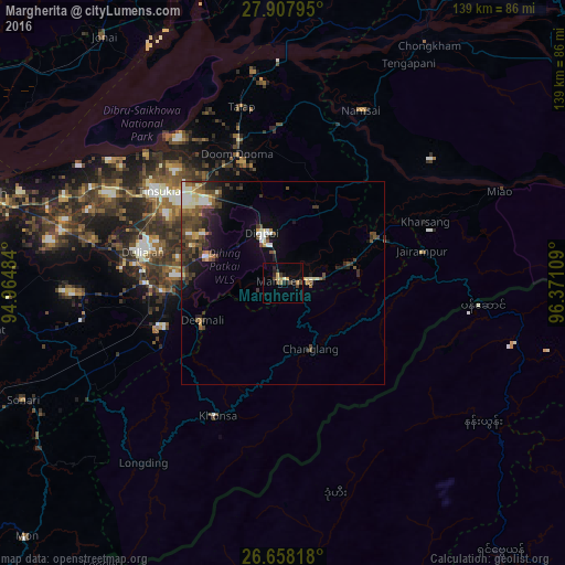
Analysis of Margherita night lights 2016
Square area 10x10 km:
 0%
0%90-99
0.76%80-89
1.33%70-79
0.95%60-69
2.27%50-59
0.38%40-49
2.84%30-39
1.89%20-29
3.22%10-19
4.17%0-9
82.2%Square area 50x50 km:
0.56%90-99
1.18%80-89
0.51%70-79
0.56%60-69
0.77%50-59
1.18%40-49
1.85%30-39
1.49%20-29
1.61%10-19
3.36%0-9
86.92%Clear (daylight) street map image can be seen on geolist.org.
Map coordinates:
27° 54' 28.6" North, 94° 57' 53.4" East
27° 17' 5.4" North, 95° 40' 4.7" East
26° 39' 29.4" North, 96° 22' 15.9" East
Some cities around Margherita sort by population:
• Tinsukia
38 km =23.6 mi,  306°
306°
• Duliāgaon
36.9 km =22.9 mi,  285°
285°
• Dum Duma
33.4 km =20.8 mi,  340°
340°
• Digboi
13 km =8.1 mi, 337°
• Nāmrup
35.9 km =22.3 mi,  253°
253°
• Mākum
32 km =19.9 mi, 314°
• Nahorkatiya
32.2 km =20 mi,  270°
270°
• Khonsa
31.5 km =19.6 mi,  198°
198°
1263532 (p: 24,428)
Sources (retrieved 2019-11-25):
» Earth at Night: Flat Maps 2012, 2016