Sarupathar night lights from space
Night Light of Sarupathar (Assam) from space (India) Src. Average luminocity for 10x10km area is 0% and for 50x50km: 0.0435%.
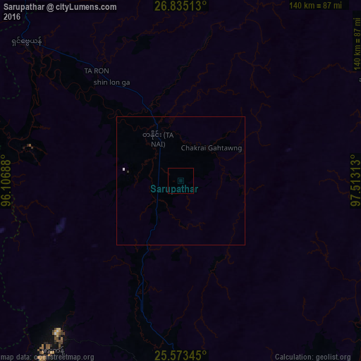
Analysis of Sarupathar night lights 2016
Square area 10x10 km:
 0%
0%90-99
0%80-89
0%70-79
0%60-69
0%50-59
0%40-49
0%30-39
0%20-29
0%10-19
0%0-9
100%Square area 50x50 km:
0%90-99
0.03%80-89
0%70-79
0%60-69
0%50-59
0%40-49
0%30-39
0.03%20-29
0%10-19
0%0-9
99.94%Clear (daylight) street map image can be seen on geolist.org.
Map coordinates:
26° 50' 6.5" North, 96° 6' 24.8" East
26° 12' 21.6" North, 96° 48' 36" East
25° 34' 24.4" North, 97° 30' 47.3" East
Some cities around Sarupathar sort by population:
• Myitkyina, MM
108.7 km =67.5 mi,  147°
147°
• Margherita
165.1 km =102.6 mi,  316°
316°
• Dum Duma
196 km =121.8 mi, 320°
• Digboi
177.2 km =110.1 mi, 318°
• Mon
184 km =114.3 mi,  288°
288°
• Nāmrup
184.4 km =114.6 mi,  306°
306°
• Nahorkatiya
189.1 km =117.5 mi, 309°
• Khonsa
153 km =95.1 mi, 306°
7302858 (p: 9,827)
Sources (retrieved 2019-11-25):
» Earth at Night: Flat Maps 2012, 2016