Tuensang night lights from space
Night Light of Tuensang (Nagaland) from space (India) Src. Average luminocity for 10x10km area is 3.5317% and for 50x50km: 0.2052%.
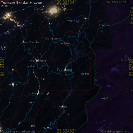
Analysis of Tuensang night lights 2016
Square area 10x10 km:
 0%
0%90-99
0.79%80-89
0.2%70-79
1.19%60-69
0.99%50-59
0.6%40-49
0.2%30-39
0.79%20-29
0.2%10-19
0.6%0-9
94.44%Square area 50x50 km:
0%90-99
0.03%80-89
0.01%70-79
0.08%60-69
0.04%50-59
0.02%40-49
0.04%30-39
0.06%20-29
0.04%10-19
0.05%0-9
99.63%Clear (daylight) street map image can be seen on geolist.org.
Map coordinates:
26° 53' 45" North, 94° 7' 15.7" East
26° 16' 1.3" North, 94° 49' 26.9" East
25° 38' 5.4" North, 95° 31' 38.2" East
Some cities around Tuensang sort by population:
• Wokha
59.5 km =37 mi,  251°
251°
• Mokokchūng
31.2 km =19.4 mi,  281°
281°
• Zunheboto
45.4 km =28.2 mi,  222°
222°
• Mariāni
66.7 km =41.4 mi,  310°
310°
• Mon
57.1 km =35.5 mi,  24°
24°
• Nāzirā
72.7 km =45.2 mi,  353°
353°
• Amguri
67.7 km =42.1 mi,  334°
334°
• Titābar
72.1 km =44.8 mi,  301°
301°
1254133 (p: 33,748)
Sources (retrieved 2019-11-25):
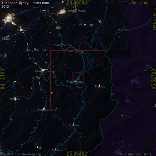
» Earth at Night: Flat Maps 2012, 2016