Lashio night lights from space
Night Light of Lashio (Shan) from space (Myanmar) Src. Average luminocity for 10x10km area is 25.2778% and for 50x50km: 1.193%.
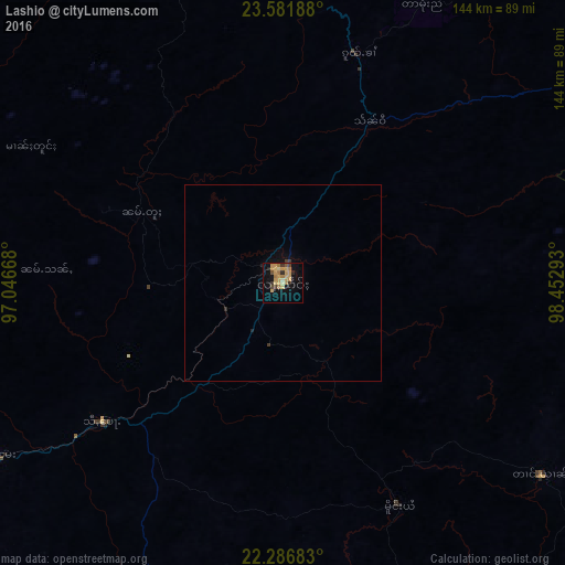
Analysis of Lashio night lights 2016
Square area 10x10 km:
 0%
0%90-99
0%80-89
4.37%70-79
13.89%60-69
5.56%50-59
1.59%40-49
1.19%30-39
2.78%20-29
3.57%10-19
14.09%0-9
52.98%Square area 50x50 km:
0%90-99
0%80-89
0.17%70-79
0.55%60-69
0.22%50-59
0.06%40-49
0.06%30-39
0.2%20-29
0.21%10-19
0.7%0-9
97.82%Clear (daylight) street map image can be seen on geolist.org.
Map coordinates:
23° 34' 54.8" North, 97° 2' 48" East
22° 56' 9.2" North, 97° 44' 59.3" East
22° 17' 12.6" North, 98° 27' 10.5" East
Some cities around Lashio sort by population:
• Mandalay
201.8 km =125.4 mi,  238°
238°
• Taunggyi
249.7 km =155.2 mi,  197°
197°
• Pyin Oo Lwin
166.4 km =103.4 mi,  232°
232°
• Mogok
127 km =78.9 mi,  269°
269°
• Shwebo
214.3 km =133.2 mi,  259°
259°
• Sagaing
216.6 km =134.6 mi, 237°
• Kyaukse
222.4 km =138.2 mi, 228°
• Bhamo
155.6 km =96.7 mi,  340°
340°
1314759 (p: 131,016)
Sources (retrieved 2019-11-25):
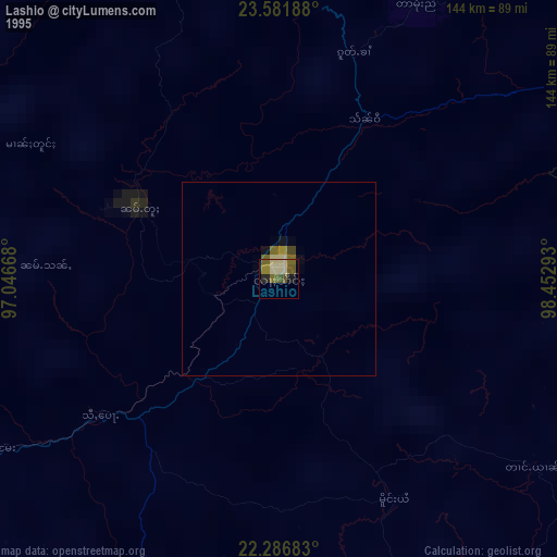
» NASA, Earths city lights 1995
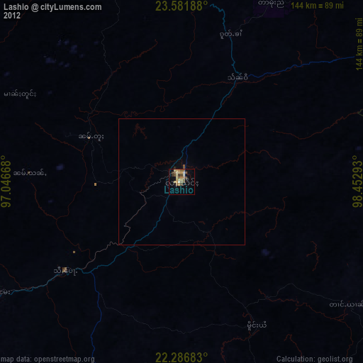
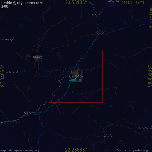
» NASA city lights 2003
» Earth at Night: Flat Maps 2012, 2016