Hinthada night lights from space
Night Light of Hinthada (Ayeyarwady) from space (Myanmar) Src. Average luminocity for 10x10km area is 13.0372% and for 50x50km: 0.8098%.
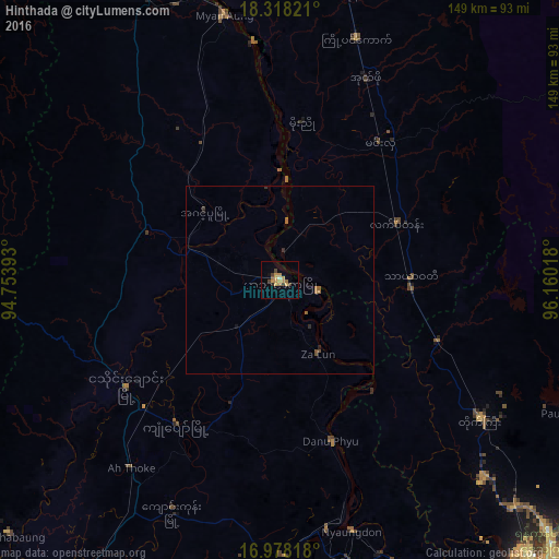
Analysis of Hinthada night lights 2016
Square area 10x10 km:
 0%
0%90-99
0.83%80-89
1.24%70-79
6.2%60-69
2.27%50-59
1.03%40-49
1.65%30-39
3.1%20-29
0.21%10-19
0.83%0-9
82.64%Square area 50x50 km:
0%90-99
0.03%80-89
0.05%70-79
0.24%60-69
0.24%50-59
0.15%40-49
0.15%30-39
0.18%20-29
0.12%10-19
0.08%0-9
98.77%Clear (daylight) street map image can be seen on geolist.org.
Map coordinates:
18° 19' 5.6" North, 94° 45' 14.1" East
17° 38' 58" North, 95° 27' 25.4" East
16° 58' 41.4" North, 96° 9' 36.6" East
Some cities around Hinthada sort by population:
• Bago
114.1 km =70.9 mi,  107°
107°
• Tharyarwady
35.1 km =21.8 mi,  89°
89°
• Maubin
104.2 km =64.7 mi,  168°
168°
• Twante
115.8 km =72 mi,  154°
154°
• Myanaung
72.3 km =44.9 mi,  348°
348°
• Nyaungdon
70 km =43.5 mi,  163°
163°
• Letpandan
34.6 km =21.5 mi,  63°
63°
• Paungde
93.8 km =58.3 mi,  3°
3°
1325211 (p: 134,947)
Sources (retrieved 2019-11-25):
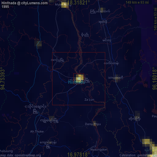
» NASA, Earths city lights 1995
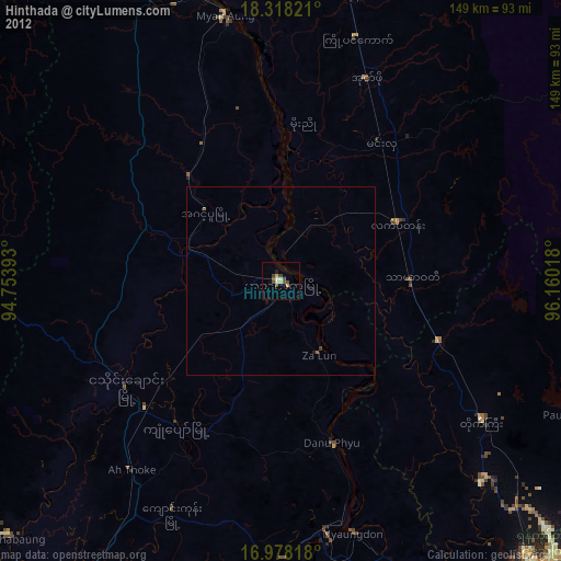
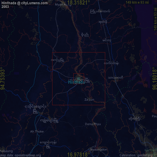
» NASA city lights 2003
» Earth at Night: Flat Maps 2012, 2016