Mogok night lights from space
Night Light of Mogok (Mandalay) from space (Myanmar) Src. Average luminocity for 10x10km area is 6.4206% and for 50x50km: 0.376%.
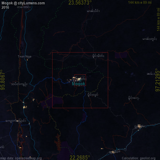
Analysis of Mogok night lights 2016
Square area 10x10 km:
 0%
0%90-99
0%80-89
1.98%70-79
1.19%60-69
0.99%50-59
0.6%40-49
2.38%30-39
1.59%20-29
0.4%10-19
1.19%0-9
89.68%Square area 50x50 km:
0%90-99
0.01%80-89
0.1%70-79
0.05%60-69
0.04%50-59
0.04%40-49
0.17%30-39
0.1%20-29
0.05%10-19
0.07%0-9
99.37%Clear (daylight) street map image can be seen on geolist.org.
Map coordinates:
23° 33' 49.4" North, 95° 48' 24.1" East
22° 55' 3.6" North, 96° 30' 35.4" East
22° 16' 6.6" North, 97° 12' 46.6" East
Some cities around Mogok sort by population:
• Mandalay
113.6 km =70.6 mi,  202°
202°
• Monywa
167.4 km =104 mi,  237°
237°
• Lashio
127 km =78.9 mi,  89°
89°
• Pyin Oo Lwin
98.3 km =61.1 mi,  183°
183°
• Shwebo
91.8 km =57 mi,  245°
245°
• Sagaing
127.7 km =79.3 mi,  205°
205°
• Kyaukse
150.9 km =93.8 mi,  194°
194°
• Bhamo
165.7 km =103 mi,  26°
26°
1308937 (p: 90,843)
Sources (retrieved 2019-11-25):
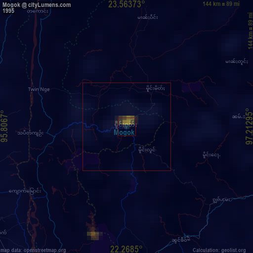
» NASA, Earths city lights 1995
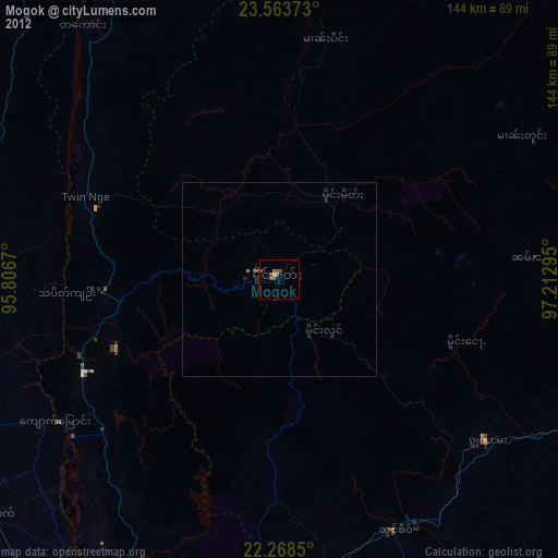
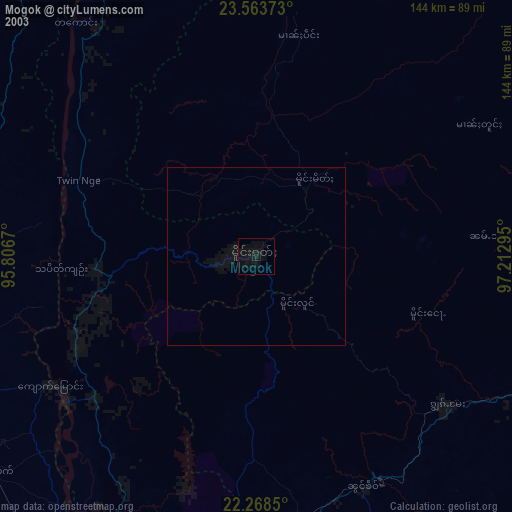
» NASA city lights 2003
» Earth at Night: Flat Maps 2012, 2016