Shwebo night lights from space
Night Light of Shwebo (Sagain) from space (Myanmar) Src. Average luminocity for 10x10km area is 9.4072% and for 50x50km: 0.478%.
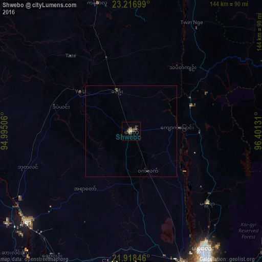
Analysis of Shwebo night lights 2016
Square area 10x10 km:
 0%
0%90-99
0%80-89
2.27%70-79
0.57%60-69
2.46%50-59
1.7%40-49
3.22%30-39
2.08%20-29
2.08%10-19
3.03%0-9
82.58%Square area 50x50 km:
0%90-99
0%80-89
0.09%70-79
0.02%60-69
0.1%50-59
0.13%40-49
0.14%30-39
0.16%20-29
0.11%10-19
0.16%0-9
99.09%Clear (daylight) street map image can be seen on geolist.org.
Map coordinates:
23° 13' 1.2" North, 94° 59' 42.2" East
22° 34' 9.3" North, 95° 41' 53.4" East
21° 55' 6.5" North, 96° 24' 4.7" East
Some cities around Shwebo sort by population:
• Mandalay
77.1 km =47.9 mi,  149°
149°
• Monywa
77.3 km =48 mi,  228°
228°
• Myingyan
127.4 km =79.2 mi,  194°
194°
• Pakokku
151.1 km =93.9 mi,  204°
204°
• Pyin Oo Lwin
98.1 km =61 mi,  127°
127°
• Mogok
91.8 km =57 mi,  65°
65°
• Sagaing
82.1 km =51 mi,  159°
159°
• Kyaukse
116.2 km =72.2 mi, 157°
1296736 (p: 88,914)
Sources (retrieved 2019-11-25):
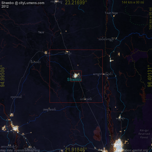
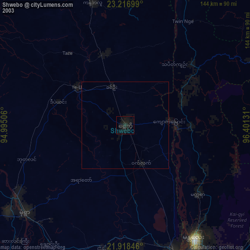
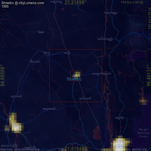
» NASA, Earths city lights 1995
» NASA city lights 2003
» Earth at Night: Flat Maps 2012, 2016