Hakha night lights from space
Night Light of Hakha (Chin) from space (Myanmar) Src. Average luminocity for 10x10km area is 1.875% and for 50x50km: 0.0754%.
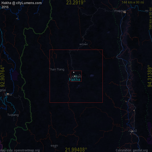

Analysis of Hakha night lights 2016
Square area 10x10 km:
 0.4%
0.4%90-99
0.6%80-89
0.6%70-79
0%60-69
0%50-59
0%40-49
0%30-39
0%20-29
0.79%10-19
0%0-9
97.62%Square area 50x50 km:
0.02%90-99
0.02%80-89
0.02%70-79
0%60-69
0%50-59
0%40-49
0%30-39
0%20-29
0.03%10-19
0%0-9
99.9%Clear (daylight) street map image can be seen on geolist.org.
Map coordinates:
23° 17' 30.8" North, 92° 54' 27.5" East
22° 38' 40.3" North, 93° 36' 38.7" East
21° 59' 38.7" North, 94° 18' 50" East
Some cities around Hakha sort by population:
• Aizawl, IN
151.2 km =94 mi,  322°
322°
• Lunglei, IN
93.2 km =57.9 mi,  287°
287°
• Mawlaik
137.5 km =85.4 mi,  36°
36°
• Bāndarban, BD
151.5 km =94.1 mi,  250°
250°
• Saiha, IN
66.8 km =41.5 mi,  255°
255°
• Serchhīp, IN
106.4 km =66.1 mi,  312°
312°
• Thenzawl, IN
115.5 km =71.8 mi, 310°
• Falam
30.7 km =19.1 mi,  12°
12°
1325443 (p: 20,000)
Sources (retrieved 2019-11-25):
» Earth at Night: Flat Maps 2012, 2016