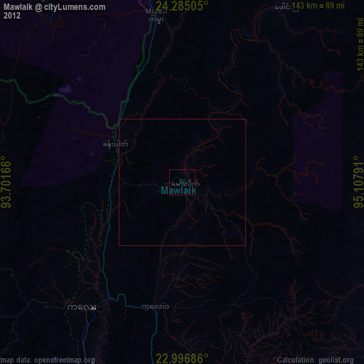
Mawlaik night lights from space
Night Light of Mawlaik (Sagain) from space (Myanmar) Src. Average luminocity for 10x10km area is 0% and for 50x50km: 0%.
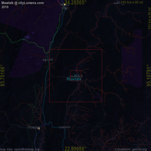
Analysis of Mawlaik night lights 2016
Square area 10x10 km:
 0%
0%90-99
0%80-89
0%70-79
0%60-69
0%50-59
0%40-49
0%30-39
0%20-29
0%10-19
0%0-9
100%Square area 50x50 km:
0%90-99
0%80-89
0%70-79
0%60-69
0%50-59
0%40-49
0%30-39
0%20-29
0%10-19
0%0-9
100%Clear (daylight) street map image can be seen on geolist.org.
Map coordinates:
24° 17' 6.2" North, 93° 42' 6" East
23° 38' 33.1" North, 94° 24' 17.2" East
22° 59' 48.7" North, 95° 6' 28.5" East
Some cities around Mawlaik sort by population:
• Churāchāndpur, IN
107.1 km =66.5 mi,  315°
315°
• Thoubāl, IN
118.3 km =73.5 mi,  339°
339°
• Kakching, IN
104.4 km =64.9 mi, 335°
• Mayāng Imphāl, IN
119.6 km =74.3 mi,  334°
334°
• Moirāng, IN
114.4 km =71.1 mi, 326°
• Yairipok, IN
120.7 km =75 mi, 342°
• Wāngjing, IN
110.8 km =68.8 mi, 341°
• Falam
109.9 km =68.3 mi,  222°
222°
1310120 (p: 44,540)
Sources (retrieved 2019-11-25):
» Earth at Night: Flat Maps 2012, 2016