Falam night lights from space
Night Light of Falam (Chin) from space (Myanmar) Src. Average luminocity for 10x10km area is 0% and for 50x50km: 0.0006%.
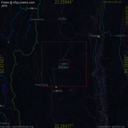
Analysis of Falam night lights 2016
Square area 10x10 km:
 0%
0%90-99
0%80-89
0%70-79
0%60-69
0%50-59
0%40-49
0%30-39
0%20-29
0%10-19
0%0-9
100%Square area 50x50 km:
0%90-99
0%80-89
0%70-79
0%60-69
0%50-59
0%40-49
0%30-39
0%20-29
0%10-19
0%0-9
100%Clear (daylight) street map image can be seen on geolist.org.
Map coordinates:
23° 33' 34" North, 92° 58' 28.8" East
22° 54' 48.1" North, 93° 40' 40" East
22° 15' 51" North, 94° 22' 51.3" East
Some cities around Falam sort by population:
• Aizawl, IN
133.5 km =83 mi,  312°
312°
• Lunglei, IN
95.9 km =59.6 mi,  268°
268°
• Mawlaik
109.9 km =68.3 mi,  42°
42°
• Saiha, IN
85.4 km =53.1 mi,  236°
236°
• Serchhīp, IN
94.9 km =59 mi,  296°
296°
• Hakha
30.7 km =19.1 mi,  192°
192°
• Thenzawl, IN
104.9 km =65.2 mi, 295°
• Sairang, IN
144.6 km =89.9 mi, 313°
1326105 (p: 5,404)
Sources (retrieved 2019-11-25):
» Earth at Night: Flat Maps 2012, 2016