Serchhīp night lights from space
Night Light of Serchhīp (Mizoram) from space (India) Src. Average luminocity for 10x10km area is 0.1572% and for 50x50km: 0.0421%.
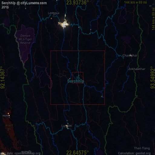
Analysis of Serchhīp night lights 2016
Square area 10x10 km:
 0%
0%90-99
0%80-89
0%70-79
0%60-69
0%50-59
0%40-49
0%30-39
0%20-29
0.38%10-19
0.38%0-9
99.24%Square area 50x50 km:
0%90-99
0%80-89
0%70-79
0%60-69
0%50-59
0%40-49
0.06%30-39
0%20-29
0.02%10-19
0.02%0-9
99.91%Clear (daylight) street map image can be seen on geolist.org.
Map coordinates:
23° 56' 14.5" North, 92° 8' 37.2" East
23° 17' 35.2" North, 92° 50' 48.4" East
22° 38' 44.7" North, 93° 32' 59.7" East
Some cities around Serchhīp sort by population:
• Aizawl
50.2 km =31.2 mi,  344°
344°
• Lunglei
45.8 km =28.5 mi,  193°
193°
• Khagrachhari, BD
91.9 km =57.1 mi,  257°
257°
• Saiha
90.2 km =56 mi,  171°
171°
• Sāitlaw
80.4 km =50 mi, 339°
• Mamit
79.3 km =49.3 mi,  332°
332°
• Thenzawl
10.2 km =6.3 mi,  284°
284°
• Sairang
60.8 km =37.8 mi, 340°
1256812 (p: 20,244)
Sources (retrieved 2019-11-25):
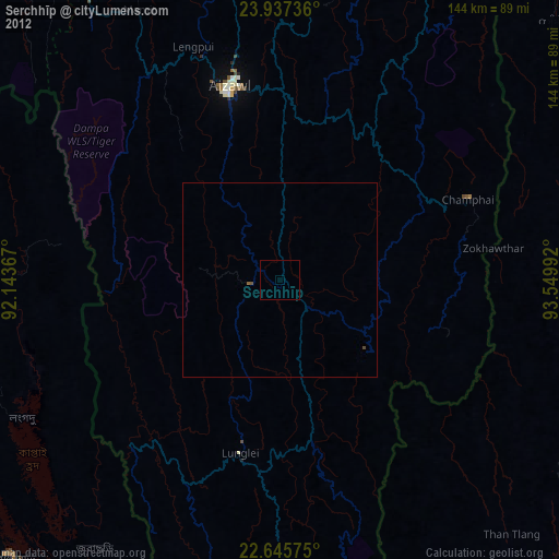
» Earth at Night: Flat Maps 2012, 2016