Saiha night lights from space
Night Light of Saiha (Mizoram) from space (India) Src. Average luminocity for 10x10km area is 0.7443% and for 50x50km: 0.0646%.

Analysis of Saiha night lights 2016
Square area 10x10 km:
 0%
0%90-99
0%80-89
0%70-79
0%60-69
0%50-59
0%40-49
1.52%30-39
0%20-29
0%10-19
0%0-9
98.48%Square area 50x50 km:
0%90-99
0%80-89
0%70-79
0%60-69
0%50-59
0%40-49
0.13%30-39
0%20-29
0%10-19
0%0-9
99.87%Clear (daylight) street map image can be seen on geolist.org.
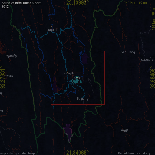
Map coordinates:
23° 8' 23.7" North, 92° 16' 41.9" East
22° 29' 30.6" North, 92° 58' 53.1" East
21° 50' 26.4" North, 93° 41' 4.4" East
Some cities around Saiha sort by population:
• Lunglei
50.9 km =31.6 mi,  331°
331°
• Sātkania, BD
106.4 km =66.1 mi,  244°
244°
• Patiya, BD
105.3 km =65.4 mi,  258°
258°
• Bāndarban, BD
85 km =52.8 mi,  247°
247°
• Serchhīp
90.2 km =56 mi,  351°
351°
• Hakha, MM
66.8 km =41.5 mi,  75°
75°
• Thenzawl
94.7 km =58.8 mi, 345°
• Falam, MM
85.4 km =53.1 mi,  56°
56°
1257771 (p: 22,654)
Sources (retrieved 2019-11-25):
» Earth at Night: Flat Maps 2012, 2016