Sairang night lights from space
Night Light of Sairang (Mizoram) from space (India) Src. Average luminocity for 10x10km area is 1.4881% and for 50x50km: 1.6334%.
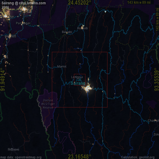
Analysis of Sairang night lights 2016
Square area 10x10 km:
 0%
0%90-99
0%80-89
0%70-79
0%60-69
0%50-59
0%40-49
0.79%30-39
0%20-29
0%10-19
2.38%0-9
96.83%Square area 50x50 km:
0.12%90-99
0.39%80-89
0.16%70-79
0.08%60-69
0.28%50-59
0.15%40-49
0.3%30-39
0.2%20-29
0.13%10-19
1.65%0-9
96.54%Clear (daylight) street map image can be seen on geolist.org.
Map coordinates:
24° 27' 7.3" North, 91° 56' 56.9" East
23° 48' 37.2" North, 92° 39' 8.1" East
23° 9' 55.7" North, 93° 21' 19.4" East
Some cities around Sairang sort by population:
• Aizawl
11.2 km =7 mi,  143°
143°
• Dharmanagar
79.1 km =49.2 mi,  321°
321°
• Kolasib
46.1 km =28.6 mi,  3°
3°
• Serchhīp
60.8 km =37.8 mi,  160°
160°
• Sāitlaw
19.6 km =12.2 mi,  336°
336°
• Āmbāsa
82.3 km =51.1 mi,  279°
279°
• Mamit
21 km =13 mi,  308°
308°
• Thenzawl
55.8 km =34.7 mi,  169°
169°
1257743 (p: 5,760)
Sources (retrieved 2019-11-25):
» Earth at Night: Flat Maps 2012, 2016