Šuto Orizare night lights from space
Night Light of Šuto Orizare (Grad Skopje) from space (North Macedonia) Src. Average luminocity for 10x10km area is 64.6524% and for 50x50km: 10.7633%.
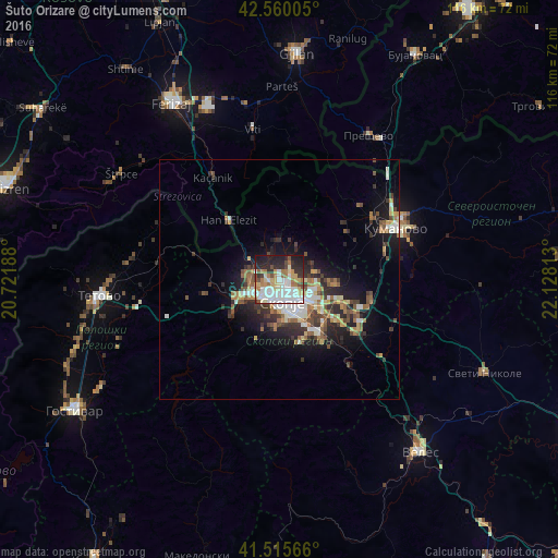
Analysis of Šuto Orizare night lights 2016
Square area 10x10 km:
 17.3%
17.3%90-99
17.94%80-89
7.94%70-79
6.83%60-69
10.32%50-59
3.33%40-49
5.56%30-39
4.6%20-29
16.98%10-19
9.21%0-9
0%Square area 50x50 km:
1.46%90-99
2.08%80-89
1.06%70-79
1.02%60-69
1.83%50-59
1.43%40-49
1.6%30-39
1.89%20-29
3.19%10-19
6.21%0-9
78.23%Clear (daylight) street map image can be seen on geolist.org.
Map coordinates:
42° 33' 36.2" North, 20° 43' 18.8" East
42° 2' 24" North, 21° 25' 30" East
41° 30' 56.4" North, 22° 7' 41.3" East
Some cities around Šuto Orizare sort by population:
• Skopje
4.9 km =3 mi,  173°
173°
• Čair
3.1 km =1.9 mi,  154°
154°
• Gjorče Petro
6.9 km =4.3 mi,  238°
238°
• Butel
2.1 km =1.3 mi,  119°
119°
• Saraj
9.2 km =5.7 mi, 241°
• Сопиште
9.5 km =5.9 mi,  178°
178°
• Radishani
3 km =1.9 mi,  38°
38°
• Чучер - Сандево
7.9 km =4.9 mi,  333°
333°
833258 (p: 20,800)
Sources (retrieved 2019-11-25):
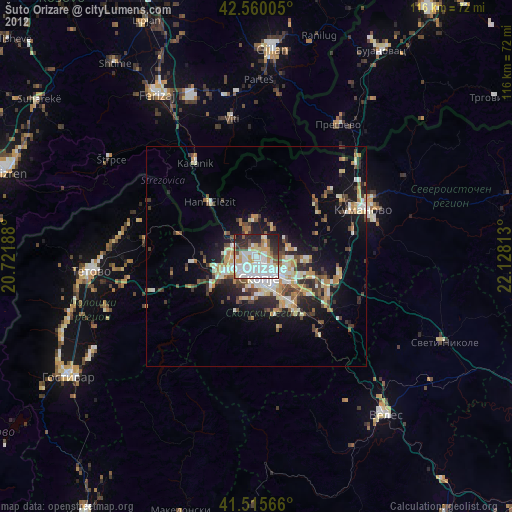
» Earth at Night: Flat Maps 2012, 2016