Butel night lights from space
Night Light of Butel (Grad Skopje) from space (North Macedonia) Src. Average luminocity for 10x10km area is 71.3587% and for 50x50km: 11.0759%.
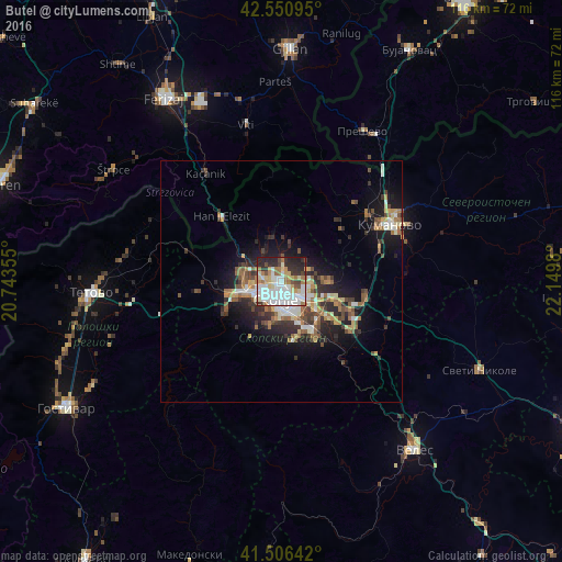
Analysis of Butel night lights 2016
Square area 10x10 km:
 21.75%
90-99
21.75%80-89
9.05%70-79
5.71%60-69
10.79%50-59
2.7%40-49
4.13%30-39
5.4%20-29
16.67%10-19
2.06%0-9
0%Square area 50x50 km:
1.48%90-99
2.12%80-89
1.14%70-79
1.06%60-69
1.94%50-59
1.46%40-49
1.62%30-39
1.89%20-29
3.22%10-19
6.53%0-9
77.55%Clear (daylight) street map image can be seen on geolist.org.
Map coordinates:
42° 33' 3.4" North, 20° 44' 36.8" East
42° 1' 51" North, 21° 26' 48" East
41° 30' 23.1" North, 22° 8' 59.3" East
Some cities around Butel sort by population:
• Skopje
4 km =2.5 mi,  198°
198°
• Čair
1.8 km =1.1 mi,  194°
194°
• Gjorče Petro
8.1 km =5 mi,  251°
251°
• Šuto Orizare
2.1 km =1.3 mi,  299°
299°
• Арачиново
9.5 km =5.9 mi,  92°
92°
• Сопиште
8.6 km =5.3 mi, 190°
• Radishani
3.4 km =2.1 mi,  1°
1°
• Чучер - Сандево
9.7 km =6 mi,  326°
326°
833260 (p: 36,154)
Sources (retrieved 2019-11-25):
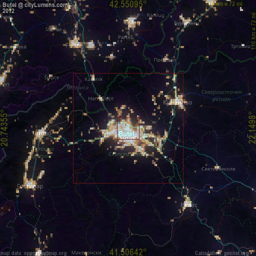
» Earth at Night: Flat Maps 2012, 2016