Čair night lights from space
Night Light of Čair (Grad Skopje) from space (North Macedonia) Src. Average luminocity for 10x10km area is 78.4508% and for 50x50km: 11.0149%.
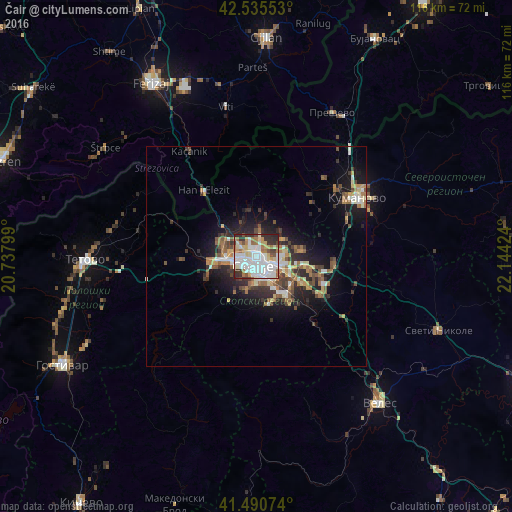
Analysis of Čair night lights 2016
Square area 10x10 km:
 25.4%
25.4%90-99
26.03%80-89
9.68%70-79
5.4%60-69
12.06%50-59
3.49%40-49
2.86%30-39
7.62%20-29
7.46%10-19
0%0-9
0%Square area 50x50 km:
1.48%90-99
2.12%80-89
1.12%70-79
1.05%60-69
1.94%50-59
1.45%40-49
1.6%30-39
1.89%20-29
3.2%10-19
6.48%0-9
77.68%Clear (daylight) street map image can be seen on geolist.org.
Map coordinates:
42° 32' 7.9" North, 20° 44' 16.8" East
42° 0' 55" North, 21° 26' 28" East
41° 29' 26.7" North, 22° 8' 39.3" East
Some cities around Čair sort by population:
• Skopje
2.2 km =1.4 mi,  200°
200°
• Kisela Voda
9 km =5.6 mi,  145°
145°
• Gjorče Petro
7.3 km =4.5 mi,  263°
263°
• Butel
1.8 km =1.1 mi,  14°
14°
• Saraj
9.5 km =5.9 mi, 259°
• Šuto Orizare
3.1 km =1.9 mi,  334°
334°
• Сопиште
6.8 km =4.2 mi,  189°
189°
• Radishani
5.1 km =3.2 mi, 6°
833262 (p: 64,773)
Sources (retrieved 2019-11-25):
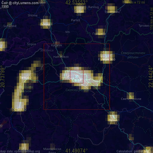
» NASA, Earths city lights 1995
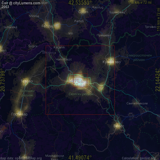
» NASA city lights 2003
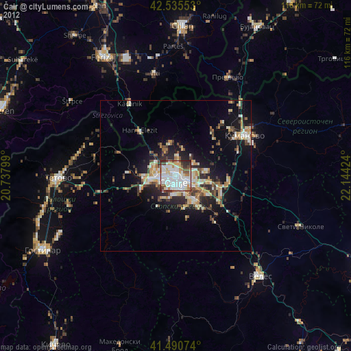
» Earth at Night: Flat Maps 2012, 2016