Saraj night lights from space
Night Light of Saraj (Grad Skopje) from space (North Macedonia) Src. Average luminocity for 10x10km area is 32.9714% and for 50x50km: 9.458%.
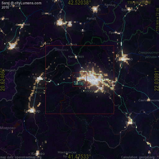
Analysis of Saraj night lights 2016
Square area 10x10 km:
 3.65%
3.65%90-99
5.56%80-89
2.22%70-79
4.13%60-69
6.98%50-59
6.03%40-49
4.6%30-39
6.51%20-29
11.11%10-19
20.48%0-9
28.73%Square area 50x50 km:
1.36%90-99
1.89%80-89
0.95%70-79
0.87%60-69
1.6%50-59
1.25%40-49
1.41%30-39
1.64%20-29
3.15%10-19
4.69%0-9
81.19%Clear (daylight) street map image can be seen on geolist.org.
Map coordinates:
42° 31' 13.4" North, 20° 37' 28.8" East
42° 0' 0" North, 21° 19' 40" East
41° 28' 31.2" North, 22° 1' 51.3" East
Some cities around Saraj sort by population:
• Skopje
8.6 km =5.3 mi,  92°
92°
• Čair
9.5 km =5.9 mi,  79°
79°
• Gjorče Petro
2.3 km =1.4 mi,  67°
67°
• Butel
10.4 km =6.5 mi, 70°
• Šuto Orizare
9.2 km =5.7 mi,  61°
61°
• Kondovo
1.7 km =1.1 mi,  318°
318°
• Сопиште
9.7 km =6 mi,  121°
121°
• Radishani
12 km =7.5 mi, 55°
786093 (p: 25,379)
Sources (retrieved 2019-11-25):
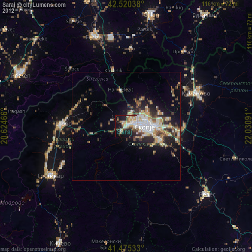
» Earth at Night: Flat Maps 2012, 2016