Kisela Voda night lights from space
Night Light of Kisela Voda (Grad Skopje) from space (North Macedonia) Src. Average luminocity for 10x10km area is 52.8159% and for 50x50km: 11.3744%.
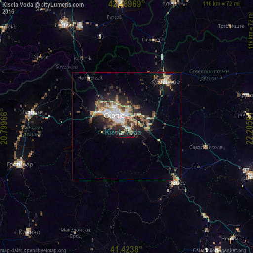
Analysis of Kisela Voda night lights 2016
Square area 10x10 km:
 8.41%
8.41%90-99
14.92%80-89
4.6%70-79
3.97%60-69
7.46%50-59
7.94%40-49
9.21%30-39
11.59%20-29
14.29%10-19
15.87%0-9
1.75%Square area 50x50 km:
1.49%90-99
2.05%80-89
1.25%70-79
1.14%60-69
2%50-59
1.59%40-49
1.64%30-39
1.89%20-29
3.28%10-19
6.74%0-9
76.92%Clear (daylight) street map image can be seen on geolist.org.
Map coordinates:
42° 28' 10.9" North, 20° 47' 58.8" East
41° 56' 56" North, 21° 30' 10" East
41° 25' 25.7" North, 22° 12' 21.3" East
Some cities around Kisela Voda sort by population:
• Skopje
7.9 km =4.9 mi,  311°
311°
• Čair
9 km =5.6 mi,  325°
325°
• Studeničane
4 km =2.5 mi,  138°
138°
• Ilinden
8.2 km =5.1 mi,  51°
51°
• Арачиново
9.9 km =6.2 mi,  29°
29°
• Dračevo
2.1 km =1.3 mi,  131°
131°
• Сопиште
6.3 km =3.9 mi,  275°
275°
• Петровец
9.3 km =5.8 mi,  96°
96°
863675 (p: 58,216)
Sources (retrieved 2019-11-25):
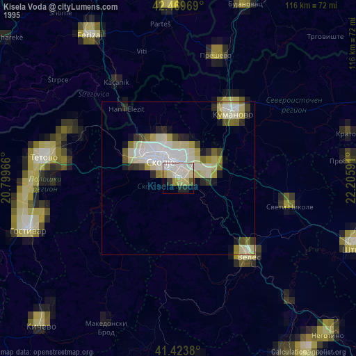
» NASA, Earths city lights 1995
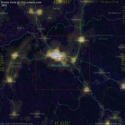
» NASA city lights 2003
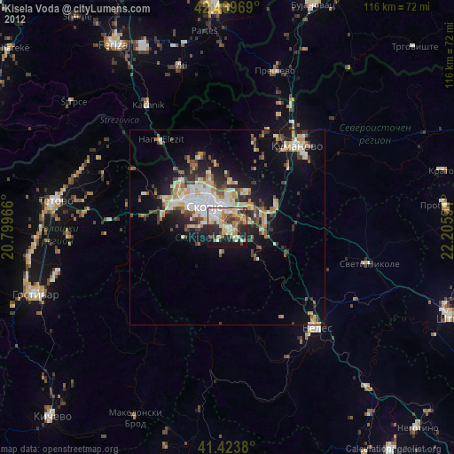
» Earth at Night: Flat Maps 2012, 2016