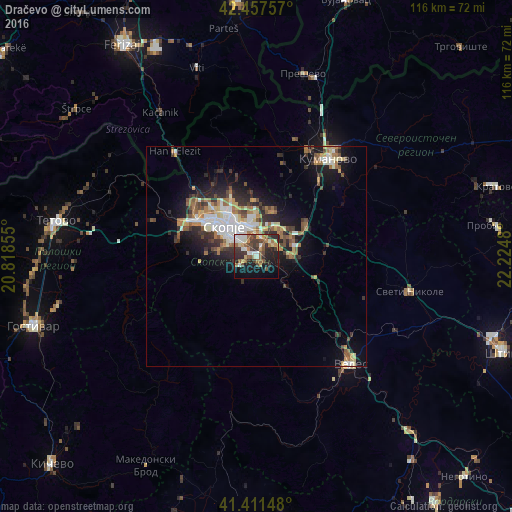
Dračevo night lights from space
Night Light of Dračevo (Grad Skopje) from space (North Macedonia) Src. Average luminocity for 10x10km area is 41.1587% and for 50x50km: 11.3991%.
Analysis of Dračevo night lights 2016
Square area 10x10 km:
 3.97%
3.97%90-99
9.21%80-89
4.13%70-79
3.65%60-69
6.03%50-59
7.3%40-49
8.25%30-39
9.68%20-29
13.65%10-19
20%0-9
14.13%Square area 50x50 km:
1.53%90-99
2.09%80-89
1.27%70-79
1.12%60-69
2%50-59
1.58%40-49
1.6%30-39
1.88%20-29
3.28%10-19
6.54%0-9
77.12%Clear (daylight) street map image can be seen on geolist.org.
Map coordinates:
42° 27' 27.3" North, 20° 49' 6.8" East
41° 56' 12" North, 21° 31' 18" East
41° 24' 41.3" North, 22° 13' 29.3" East
Some cities around Dračevo sort by population:
• Skopje
10 km =6.2 mi,  311°
311°
• Kisela Voda
2.1 km =1.3 mi, 311°
• Studeničane
2 km =1.2 mi,  146°
146°
• Ilinden
8 km =5 mi,  36°
36°
• Арачиново
10.5 km =6.5 mi,  18°
18°
• Сопиште
8 km =5 mi,  284°
284°
• Петровец
7.7 km =4.8 mi,  88°
88°
• Zelenikovo
8 km =5 mi,  136°
136°
791131 (p: 10,605)
Sources (retrieved 2019-11-25):
» Earth at Night: Flat Maps 2012, 2016