Shtip night lights from space
Night Light of Shtip from space (North Macedonia) Src. Average luminocity for 10x10km area is 22.086% and for 50x50km: 2.231%.
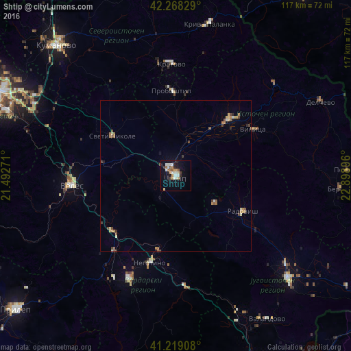
Analysis of Shtip night lights 2016
Square area 10x10 km:
 1.95%
1.95%90-99
7.14%80-89
2.27%70-79
3.25%60-69
1.62%50-59
1.95%40-49
1.62%30-39
1.62%20-29
2.76%10-19
18.67%0-9
57.14%Square area 50x50 km:
0.08%90-99
0.41%80-89
0.33%70-79
0.34%60-69
0.32%50-59
0.35%40-49
0.32%30-39
0.24%20-29
0.21%10-19
0.89%0-9
96.5%Clear (daylight) street map image can be seen on geolist.org.
Map coordinates:
42° 16' 5.8" North, 21° 29' 33.8" East
41° 44' 45" North, 22° 11' 45" East
41° 13' 8.7" North, 22° 53' 56.3" East
Some cities around Shtip sort by population:
• Kochani
26.1 km =16.2 mi,  43°
43°
• Radovis
25.3 km =15.7 mi,  118°
118°
• Sveti Nikole
24.4 km =15.2 mi,  304°
304°
• Probishtip
28.6 km =17.8 mi,  357°
357°
• Karbinci
8.6 km =5.3 mi,  22°
22°
• Gradsko
28.1 km =17.5 mi,  228°
228°
• Zrnovci
23.9 km =14.9 mi,  59°
59°
• Lozovo
24.4 km =15.2 mi,  279°
279°
785482 (p: 48,279)
Sources (retrieved 2019-11-25):
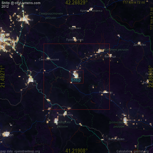
» Earth at Night: Flat Maps 2012, 2016