Čaška night lights from space
Night Light of Čaška (Chashka) from space (North Macedonia) Src. Average luminocity for 10x10km area is 0.3052% and for 50x50km: 1.348%.
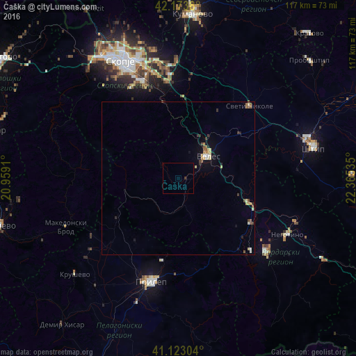
Analysis of Čaška night lights 2016
Square area 10x10 km:
 0%
0%90-99
0%80-89
0%70-79
0%60-69
0%50-59
0%40-49
0%30-39
0.65%20-29
0%10-19
0%0-9
99.35%Square area 50x50 km:
0.05%90-99
0.15%80-89
0.33%70-79
0.18%60-69
0.17%50-59
0.21%40-49
0.18%30-39
0.26%20-29
0.12%10-19
0.4%0-9
97.96%Clear (daylight) street map image can be seen on geolist.org.
Map coordinates:
42° 10' 25.7" North, 20° 57' 32.8" East
41° 39' 2" North, 21° 39' 44" East
41° 7' 22.9" North, 22° 21' 55.3" East
Some cities around Čaška sort by population:
• Veles
11.9 km =7.4 mi,  52°
52°
• Studeničane
32 km =19.9 mi,  340°
340°
• Dolneni
30.4 km =18.9 mi,  214°
214°
• Петровец
32.3 km =20.1 mi,  353°
353°
• Rosoman
27.9 km =17.3 mi,  122°
122°
• Zelenikovo
26.7 km =16.6 mi, 346°
• Gradsko
24.7 km =15.3 mi,  109°
109°
• Lozovo
25.1 km =15.6 mi, 53°
792034 (p: 2,878)
Sources (retrieved 2019-11-25):
» Earth at Night: Flat Maps 2012, 2016