Wotje night lights from space
Night Light of Wotje (Wotje Atoll) from space (Marshall Islands) Src. Average luminocity for 10x10km area is 0% and for 50x50km: 0%.
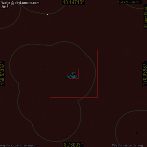
Analysis of Wotje night lights 2016
Square area 10x10 km:
 0%
0%90-99
0%80-89
0%70-79
0%60-69
0%50-59
0%40-49
0%30-39
0%20-29
0%10-19
0%0-9
100%Square area 50x50 km:
0%90-99
0%80-89
0%70-79
0%60-69
0%50-59
0%40-49
0%30-39
0%20-29
0%10-19
0%0-9
100%Clear (daylight) street map image can be seen on geolist.org.
Map coordinates:
10° 8' 49.7" North, 169° 32' 1" East
9° 27' 15.4" North, 170° 14' 12.3" East
8° 45' 36.1" North, 170° 56' 23.5" East
Some cities around Wotje sort by population:
• Ebaye
284.4 km =176.7 mi,  254°
254°
• Likiep
109.6 km =68.1 mi,  292°
292°
• Ailuk
89.6 km =55.7 mi,  341°
341°
• Aur
177.5 km =110.3 mi,  144°
144°
• Utrik
201.7 km =125.3 mi,  347°
347°
• Mejit
114.3 km =71 mi,  36°
36°
• Jabat
234.8 km =145.9 mi,  216°
216°
• Taroa
137 km =85.1 mi,  127°
127°
7306528 (p: 880)
Sources (retrieved 2019-11-25):
» Earth at Night: Flat Maps 2012, 2016