Ebaye night lights from space
Night Light of Ebaye (Kwajalein Atoll) from space (Marshall Islands) Src. Average luminocity for 10x10km area is 1.4793% and for 50x50km: 0.1174%.
Analysis of Ebaye night lights 2016
Square area 10x10 km:
 0%
0%90-99
0%80-89
0%70-79
0%60-69
1.45%50-59
0.21%40-49
0%30-39
0.83%20-29
0%10-19
0%0-9
97.52%Square area 50x50 km:
0.03%90-99
0.01%80-89
0%70-79
0%60-69
0.06%50-59
0.04%40-49
0%30-39
0.03%20-29
0%10-19
0%0-9
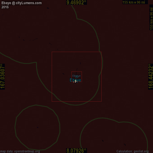
99.83%Clear (daylight) street map image can be seen on geolist.org.
Map coordinates:
9° 28' 8.5" North, 167° 2' 9.9" East
8° 46' 29.2" North, 167° 44' 21.1" East
8° 4' 45.3" North, 168° 26' 32.4" East
Some cities around Ebaye sort by population:
• Likiep
208.3 km =129.4 mi,  55°
55°
• Ujae
217.7 km =135.3 mi,  274°
274°
• Lae
163 km =101.3 mi,  275°
275°
• Wotho
244.7 km =152 mi,  309°
309°
• Lib
65.1 km =40.5 mi,  217°
217°
• Jabat
177.4 km =110.2 mi,  129°
129°
• Airuk
204.7 km =127.2 mi,  144°
144°
• Loen
125.1 km =77.7 mi,  154°
154°
7304467 (p: 15,000)
Sources (retrieved 2019-11-25):
» Earth at Night: Flat Maps 2012, 2016