Tsaratanana night lights from space
Night Light of Tsaratanana (Betsiboka) from space (Madagascar) Src. Average luminocity for 10x10km area is 0% and for 50x50km: 0%.
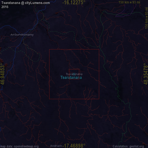
Analysis of Tsaratanana night lights 2016
Square area 10x10 km:
 0%
0%90-99
0%80-89
0%70-79
0%60-69
0%50-59
0%40-49
0%30-39
0%20-29
0%10-19
0%0-9
100%Square area 50x50 km:
0%90-99
0%80-89
0%70-79
0%60-69
0%50-59
0%40-49
0%30-39
0%20-29
0%10-19
0%0-9
100%Clear (daylight) street map image can be seen on geolist.org.
Map coordinates:
16° 7' 21.9" South, 46° 56' 54.7" East
16° 47' 49.4" South, 47° 39' 5.9" East
17° 28' 8.3" South, 48° 21' 17.2" East
Some cities around Tsaratanana sort by population:
• Amparafaravola
106.9 km =66.4 mi,  145°
145°
• Ambatondrazaka
141 km =87.6 mi,  144°
144°
• Marovoay
131.8 km =81.9 mi,  305°
305°
• Vohibinany
159.2 km =98.9 mi,  112°
112°
• Maevatanana
88.7 km =55.1 mi,  258°
258°
• Ambato Boeny
106.2 km =66 mi,  290°
290°
• Andilamena
100.9 km =62.7 mi,  103°
103°
• Bemaitso
95.1 km =59.1 mi, 108°
1055059 (p: 16,761)
Sources (retrieved 2019-11-25):
» Earth at Night: Flat Maps 2012, 2016