Amparafaravola night lights from space
Night Light of Amparafaravola (Alaotra Mangoro) from space (Madagascar) Src. Average luminocity for 10x10km area is 0% and for 50x50km: 0.0006%.
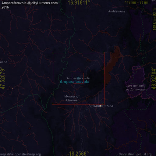

Analysis of Amparafaravola night lights 2016
Square area 10x10 km:
 0%
0%90-99
0%80-89
0%70-79
0%60-69
0%50-59
0%40-49
0%30-39
0%20-29
0%10-19
0%0-9
100%Square area 50x50 km:
0%90-99
0%80-89
0%70-79
0%60-69
0%50-59
0%40-49
0%30-39
0%20-29
0%10-19
0%0-9
100%Clear (daylight) street map image can be seen on geolist.org.
Map coordinates:
16° 54' 58" South, 47° 31' 14.8" East
17° 35' 15.4" South, 48° 13' 26.1" East
18° 15' 23.8" South, 48° 55' 37.3" East
Some cities around Amparafaravola sort by population:
• Ambatondrazaka
34.1 km =21.2 mi,  143°
143°
• Vavatenina
104.4 km =64.9 mi,  82°
82°
• Vohibinany
89.8 km =55.8 mi,  72°
72°
• Andilamena
74.1 km =46 mi,  29°
29°
• Anjozorobe
97.9 km =60.8 mi,  202°
202°
• Tsaratanana
106.9 km =66.4 mi,  325°
325°
• Sahatavy
83.7 km =52 mi, 79°
• Bemaitso
64.9 km =40.3 mi, 26°
1078446 (p: 51,519)
Sources (retrieved 2019-11-25):
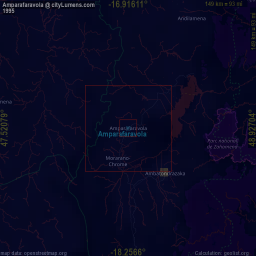
» NASA, Earths city lights 1995
» NASA city lights 2003
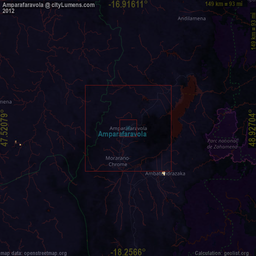
» Earth at Night: Flat Maps 2012, 2016