Ambato Boeny night lights from space
Night Light of Ambato Boeny (Boeny) from space (Madagascar) Src. Average luminocity for 10x10km area is 0% and for 50x50km: 0.0551%.
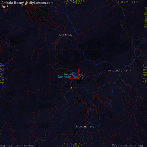
Analysis of Ambato Boeny night lights 2016
Square area 10x10 km:
 0%
0%90-99
0%80-89
0%70-79
0%60-69
0%50-59
0%40-49
0%30-39
0%20-29
0%10-19
0%0-9
100%Square area 50x50 km:
0%90-99
0%80-89
0.03%70-79
0%60-69
0%50-59
0.03%40-49
0%30-39
0%20-29
0%10-19
0%0-9
99.93%Clear (daylight) street map image can be seen on geolist.org.
Map coordinates:
15° 47' 28.4" South, 46° 0' 48.8" East
16° 28' 0" South, 46° 43' 0" East
17° 8' 23.2" South, 47° 25' 11.3" East
Some cities around Ambato Boeny sort by population:
• Mahajanga
93.7 km =58.2 mi,  332°
332°
• Amparafaravola
203 km =126.1 mi,  127°
127°
• Marovoay
40.3 km =25 mi,  348°
348°
• Maevatanana
55.2 km =34.3 mi,  166°
166°
• Sitampiky
69.4 km =43.1 mi,  251°
251°
• Tsaratanana
106.2 km =66 mi,  110°
110°
• Mahabe
162.4 km =100.9 mi, 245°
• Bemaitso
201.2 km =125 mi, 109°
1083257 (p: 22,529)
Sources (retrieved 2019-11-25):
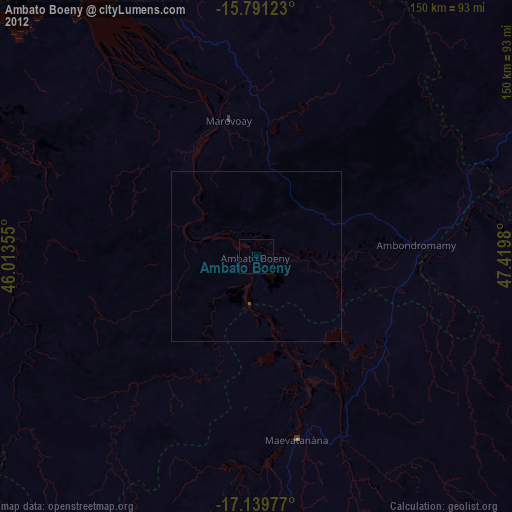
» Earth at Night: Flat Maps 2012, 2016