Maevatanana night lights from space
Night Light of Maevatanana (Betsiboka) from space (Madagascar) Src. Average luminocity for 10x10km area is 0.9913% and for 50x50km: 0.0382%.

Analysis of Maevatanana night lights 2016
Square area 10x10 km:
 0%
0%90-99
0%80-89
0%70-79
0%60-69
0.87%50-59
0%40-49
0%30-39
0.87%20-29
0%10-19
0%0-9
98.27%Square area 50x50 km:
0%90-99
0%80-89
0%70-79
0%60-69
0.03%50-59
0%40-49
0%30-39
0.03%20-29
0%10-19
0%0-9
99.93%Clear (daylight) street map image can be seen on geolist.org.
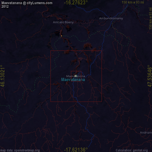
Map coordinates:
16° 16' 34.4" South, 46° 7' 48.8" East
16° 57' 0" South, 46° 49' 60" East
17° 37' 16.9" South, 47° 32' 11.3" East
Some cities around Maevatanana sort by population:
• Mahajanga
147.8 km =91.8 mi,  338°
338°
• Amparafaravola
163.8 km =101.8 mi,  115°
115°
• Marovoay
95.5 km =59.3 mi,  347°
347°
• Ambato Boeny
55.2 km =34.3 mi, 346°
• Sitampiky
84.2 km =52.3 mi,  291°
291°
• Tsaratanana
88.7 km =55.1 mi,  78°
78°
• Ankazobe
154.9 km =96.3 mi,  168°
168°
• Mahabe
160.2 km =99.5 mi,  264°
264°
1062842 (p: 24,000)
Sources (retrieved 2019-11-25):
» Earth at Night: Flat Maps 2012, 2016