Toliara night lights from space
Night Light of Toliara (Atsimo-Andrefana) from space (Madagascar) Src. Average luminocity for 10x10km area is 18.8674% and for 50x50km: 0.8549%.
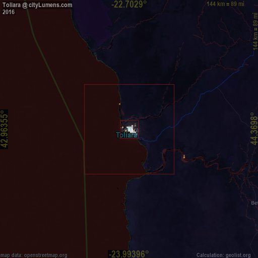
Analysis of Toliara night lights 2016
Square area 10x10 km:
 4.92%
4.92%90-99
6.25%80-89
0.19%70-79
1.52%60-69
0.76%50-59
0%40-49
0.76%30-39
0%20-29
3.03%10-19
11.55%0-9
71.02%Square area 50x50 km:
0.2%90-99
0.26%80-89
0.01%70-79
0.06%60-69
0.03%50-59
0%40-49
0.06%30-39
0%20-29
0.13%10-19
0.48%0-9
98.77%Clear (daylight) street map image can be seen on geolist.org.
Map coordinates:
22° 42' 10.4" South, 42° 57' 48.8" East
23° 21' 0" South, 43° 40' 0" East
23° 59' 38.3" South, 44° 22' 11.3" East
Some cities around Toliara sort by population:
• Betioky
83.6 km =51.9 mi,  119°
119°
• Ankazoabo
147.2 km =91.5 mi,  36°
36°
• Ampanihy
185.3 km =115.1 mi,  143°
143°
• Sakaraha
101.8 km =63.3 mi,  60°
60°
• Beroroha
242.4 km =150.6 mi, 39°
• Beteza
191.5 km =119 mi,  129°
129°
• Behompy
21.8 km =13.5 mi, 59°
• Ranohira
202 km =125.5 mi, 61°
1055429 (p: 115,319)
Sources (retrieved 2019-11-25):
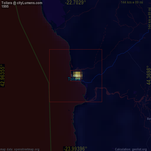
» NASA, Earths city lights 1995
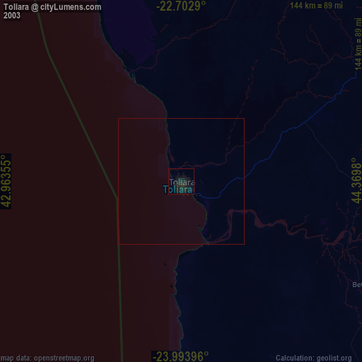
» NASA city lights 2003
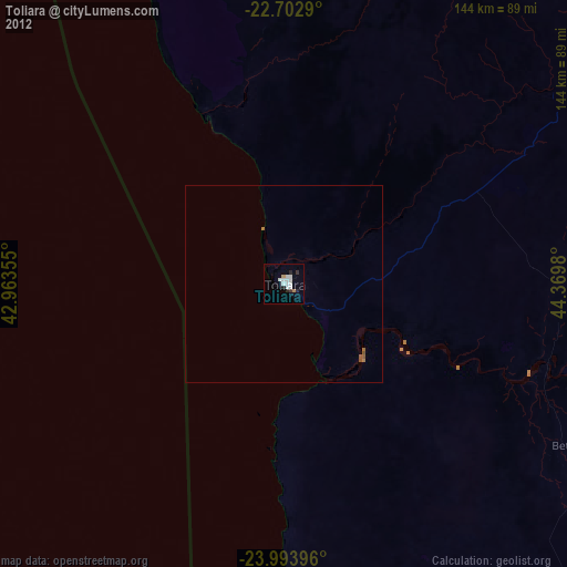
» Earth at Night: Flat Maps 2012, 2016