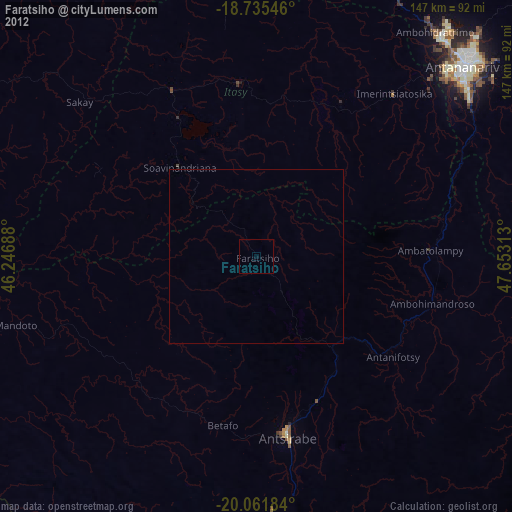
Faratsiho night lights from space
Night Light of Faratsiho (Vakinankaratra) from space (Madagascar) Src. Average luminocity for 10x10km area is 0% and for 50x50km: 0.0007%.
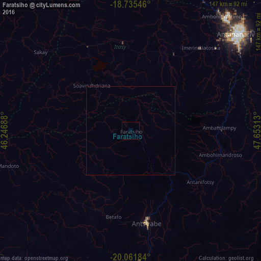
Analysis of Faratsiho night lights 2016
Square area 10x10 km:
 0%
0%90-99
0%80-89
0%70-79
0%60-69
0%50-59
0%40-49
0%30-39
0%20-29
0%10-19
0%0-9
100%Square area 50x50 km:
0%90-99
0%80-89
0%70-79
0%60-69
0%50-59
0%40-49
0%30-39
0%20-29
0%10-19
0%0-9
100%Clear (daylight) street map image can be seen on geolist.org.
Map coordinates:
18° 44' 7.7" South, 46° 14' 48.8" East
19° 24' 0" South, 46° 57' 0" East
20° 3' 42.6" South, 47° 39' 11.3" East
Some cities around Faratsiho sort by population:
• Antsirabe
52.5 km =32.6 mi,  170°
170°
• Antanifotsy
47.4 km =29.5 mi,  125°
125°
• Soavinandriana
34.5 km =21.4 mi,  318°
318°
• Betafo
49.3 km =30.6 mi,  192°
192°
• Ambatolampy
49 km =30.4 mi,  87°
87°
• Miandrarivo
21.3 km =13.2 mi,  259°
259°
• Arivonimamo
49.2 km =30.6 mi,  29°
29°
• Miarinarivo
49.3 km =30.6 mi,  354°
354°
1065140 (p: 37,563)
Sources (retrieved 2019-11-25):
» Earth at Night: Flat Maps 2012, 2016