Ampahana night lights from space
Night Light of Ampahana (Sava) from space (Madagascar) Src. Average luminocity for 10x10km area is 0% and for 50x50km: 0.0944%.

Analysis of Ampahana night lights 2016
Square area 10x10 km:
 0%
0%90-99
0%80-89
0%70-79
0%60-69
0%50-59
0%40-49
0%30-39
0%20-29
0%10-19
0%0-9
100%Square area 50x50 km:
0%90-99
0%80-89
0%70-79
0.03%60-69
0.03%50-59
0.02%40-49
0.05%30-39
0.02%20-29
0%10-19
0%0-9
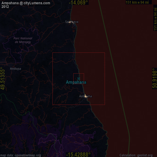
99.83%Clear (daylight) street map image can be seen on geolist.org.
Map coordinates:
14° 4' 8.4" South, 49° 30' 48.8" East
14° 45' 0" South, 50° 13' 0" East
15° 25' 44" South, 50° 55' 11.3" East
Some cities around Ampahana sort by population:
• Mananara
165 km =102.5 mi,  197°
197°
• Antalaha
18 km =11.2 mi,  158°
158°
• Sambava
54 km =33.6 mi,  354°
354°
• Maroantsetra
91.9 km =57.1 mi,  213°
213°
• Andapa
62 km =38.5 mi,  280°
280°
• Bealanana
159.5 km =99.1 mi, 278°
• Antakotako
77.3 km =48 mi,  215°
215°
• Ambodivoara
52.7 km =32.7 mi,  331°
331°
1078966 (p: 25,000)
Sources (retrieved 2019-11-25):
» Earth at Night: Flat Maps 2012, 2016