Ikongo night lights from space
Night Light of Ikongo (Vatovavy Fitovinany) from space (Madagascar) Src. Average luminocity for 10x10km area is 0% and for 50x50km: 0.02%.
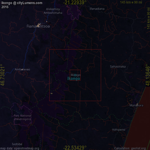
Analysis of Ikongo night lights 2016
Square area 10x10 km:
 0%
0%90-99
0%80-89
0%70-79
0%60-69
0%50-59
0%40-49
0%30-39
0%20-29
0%10-19
0%0-9
100%Square area 50x50 km:
0%90-99
0%80-89
0%70-79
0%60-69
0%50-59
0%40-49
0%30-39
0.06%20-29
0.01%10-19
0%0-9
99.94%Clear (daylight) street map image can be seen on geolist.org.
Map coordinates:
21° 13' 45.8" South, 46° 43' 48.8" East
21° 52' 60" South, 47° 25' 60" East
22° 32' 3.4" South, 48° 8' 11.3" East
Some cities around Ikongo sort by population:
• Fianarantsoa
59.9 km =37.2 mi,  323°
323°
• Manakara
66.4 km =41.3 mi,  116°
116°
• Ambalavao
51.9 km =32.2 mi,  276°
276°
• Amboanjo
44.9 km =27.9 mi,  106°
106°
• Ifatsy
66.1 km =41.1 mi,  150°
150°
• Fandrandava
45 km =28 mi,  335°
335°
• Manato
57.7 km =35.9 mi,  174°
174°
• Vohimanitra
34.3 km =21.3 mi,  53°
53°
1064234 (p: 32,374)
Sources (retrieved 2019-11-25):
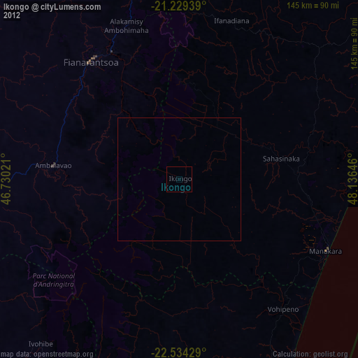
» Earth at Night: Flat Maps 2012, 2016