Bealanana night lights from space
Night Light of Bealanana (Sofia) from space (Madagascar) Src. Average luminocity for 10x10km area is 0% and for 50x50km: 0%.
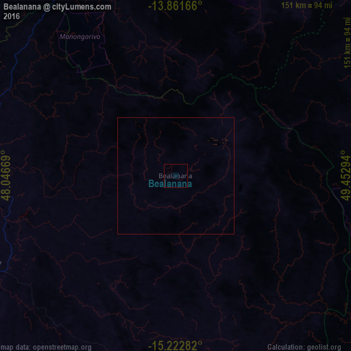
Analysis of Bealanana night lights 2016
Square area 10x10 km:
 0%
0%90-99
0%80-89
0%70-79
0%60-69
0%50-59
0%40-49
0%30-39
0%20-29
0%10-19
0%0-9
100%Square area 50x50 km:
0%90-99
0%80-89
0%70-79
0%60-69
0%50-59
0%40-49
0%30-39
0%20-29
0%10-19
0%0-9
100%Clear (daylight) street map image can be seen on geolist.org.
Map coordinates:
13° 51' 42" South, 48° 2' 48.1" East
14° 32' 35.8" South, 48° 44' 59.3" East
15° 13' 22.2" South, 49° 27' 10.6" East
Some cities around Bealanana sort by population:
• Ambanja
102.3 km =63.6 mi,  341°
341°
• Maroantsetra
145.3 km =90.3 mi,  133°
133°
• Hell-Ville
137.7 km =85.6 mi, 337°
• Antsohihy
90.1 km =56 mi,  245°
245°
• Andapa
97.6 km =60.6 mi,  96°
96°
• Ambarakaraka
116.7 km =72.5 mi,  6°
6°
• Antakotako
141.9 km =88.2 mi, 127°
• Ambodivoara
134.9 km =83.8 mi,  80°
80°
1068670 (p: 16,948)
Sources (retrieved 2019-11-25):
» Earth at Night: Flat Maps 2012, 2016