Ambarakaraka night lights from space
Night Light of Ambarakaraka (Diana) from space (Madagascar) Src. Average luminocity for 10x10km area is 0% and for 50x50km: 0%.
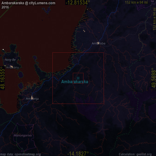
Analysis of Ambarakaraka night lights 2016
Square area 10x10 km:
 0%
0%90-99
0%80-89
0%70-79
0%60-69
0%50-59
0%40-49
0%30-39
0%20-29
0%10-19
0%0-9
100%Square area 50x50 km:
0%90-99
0%80-89
0%70-79
0%60-69
0%50-59
0%40-49
0%30-39
0%20-29
0%10-19
0%0-9
100%Clear (daylight) street map image can be seen on geolist.org.
Map coordinates:
12° 48' 55.2" South, 48° 9' 48.8" East
13° 30' 0" South, 48° 52' 0" East
14° 10' 57.7" South, 49° 34' 11.3" East
Some cities around Ambarakaraka sort by population:
• Antsiranana
139.3 km =86.6 mi,  19°
19°
• Ambilobe
38.8 km =24.1 mi,  30°
30°
• Antsohimbondrona
46.4 km =28.8 mi,  357°
357°
• Ambanja
48.5 km =30.1 mi,  247°
247°
• Hell-Ville
65.9 km =40.9 mi,  279°
279°
• Bealanana
116.7 km =72.5 mi,  186°
186°
• Ambodivoara
152 km =94.4 mi,  127°
127°
• Sadjoavato
111.3 km =69.2 mi, 28°
1083676 (p: 16,114)
Sources (retrieved 2019-11-25):
» Earth at Night: Flat Maps 2012, 2016