Antsohihy night lights from space
Night Light of Antsohihy (Sofia) from space (Madagascar) Src. Average luminocity for 10x10km area is 2.2769% and for 50x50km: 0.0911%.

Analysis of Antsohihy night lights 2016
Square area 10x10 km:
 0%
0%90-99
0%80-89
0.83%70-79
0.62%60-69
0.21%50-59
0.41%40-49
0.62%30-39
0.83%20-29
0.62%10-19
0%0-9
95.87%Square area 50x50 km:
0%90-99
0%80-89
0.03%70-79
0.02%60-69
0.01%50-59
0.02%40-49
0.02%30-39
0.03%20-29
0.02%10-19
0%0-9
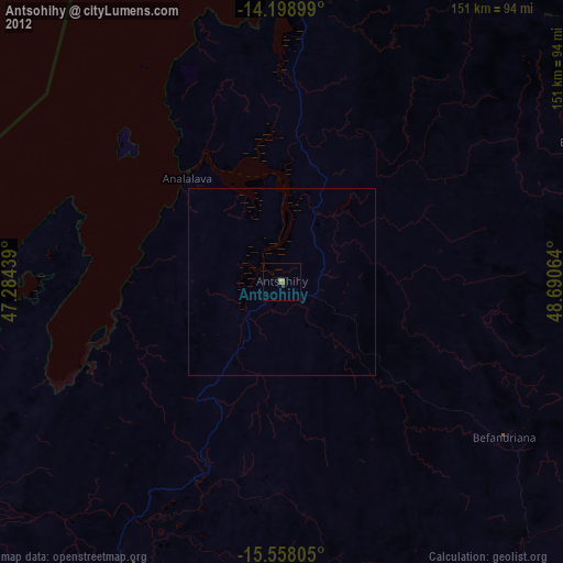
99.83%Clear (daylight) street map image can be seen on geolist.org.
Map coordinates:
14° 11' 56.4" South, 47° 17' 3.8" East
14° 52' 46.5" South, 47° 59' 15" East
15° 33' 29" South, 48° 41' 26.3" East
Some cities around Antsohihy sort by population:
• Marovoay
198.7 km =123.5 mi,  226°
226°
• Ambanja
143.6 km =89.2 mi,  20°
20°
• Maroantsetra
197.8 km =122.9 mi,  108°
108°
• Hell-Ville
167.6 km =104.1 mi,  10°
10°
• Andapa
180.6 km =112.2 mi,  81°
81°
• Bealanana
90.1 km =56 mi,  65°
65°
• Ambarakaraka
180.3 km =112 mi,  31°
31°
• Antsirabe Afovoany
158.7 km =98.6 mi,  138°
138°
1068971 (p: 21,290)
Sources (retrieved 2019-11-25):
» Earth at Night: Flat Maps 2012, 2016