Hell-Ville night lights from space
Night Light of Hell-Ville (Diana) from space (Madagascar) Src. Average luminocity for 10x10km area is 2.1777% and for 50x50km: 0.1397%.
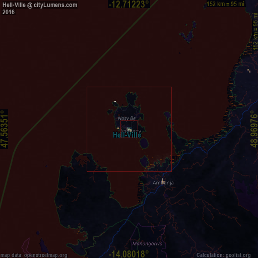
Analysis of Hell-Ville night lights 2016
Square area 10x10 km:
 0%
0%90-99
0%80-89
0%70-79
0%60-69
0%50-59
1.65%40-49
0.41%30-39
2.07%20-29
0.83%10-19
0%0-9
95.04%Square area 50x50 km:
0.03%90-99
0%80-89
0%70-79
0%60-69
0%50-59
0.1%40-49
0.02%30-39
0.08%20-29
0.03%10-19
0%0-9
99.74%Clear (daylight) street map image can be seen on geolist.org.
Map coordinates:
12° 42' 44" South, 47° 33' 48.6" East
13° 23' 49.8" South, 48° 15' 59.9" East
14° 4' 48.6" South, 48° 58' 11.1" East
Some cities around Hell-Ville sort by population:
• Antsiranana
163.6 km =101.7 mi,  42°
42°
• Ambilobe
87.6 km =54.4 mi,  75°
75°
• Antsohimbondrona
72.1 km =44.8 mi,  61°
61°
• Ambanja
36.3 km =22.6 mi,  146°
146°
• Antsohihy
167.6 km =104.1 mi,  190°
190°
• Bealanana
137.7 km =85.6 mi,  157°
157°
• Ambarakaraka
65.9 km =40.9 mi,  99°
99°
• Sadjoavato
146 km =90.7 mi,  53°
53°
1076105 (p: 22,680)
Sources (retrieved 2019-11-25):
» Earth at Night: Flat Maps 2012, 2016